Academic Partner Network

An ongoing effort to link universities and academic institutions in the region between them as well as with their counterparts in the United States. 

The Academic Partner Network (APN) of SERVIR-Amazonia is an ongoing effort to link universities and academic institutions in the region between them as well as with their counterparts in the United States. Academic partners are joining SERVIR-Amazonia based on their capacity and interests to contribute to the Program, having either a need for capacity development or the ability to contribute specific approaches, and having a clear commitment to increasing their use of geospatial products and services for improved decision-making in the Amazon.

With the Academic Partner Network we aim to:

  1. Support the co-development of geospatial services under the Program
  2. Improve geospatial education through curriculum development
  3. Develop a regional pipeline of geospatial experts and events
  4. Contribute to the development of an applied geospatial research network for long-term sustainability of the Amazonia
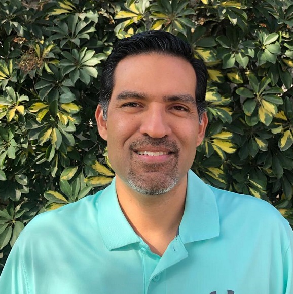
Kátia De Avila Fernandes

Leader APN, University of Arkansas

APN members are able to access NASA and SERVIR-Amazonia networks of researchers and have the opportunity to: (i) collaborate in research; (ii) participate in technical trainings/workshops; (iii) tailor graduate studies (MSc and PhD) and connect with graduate schools within the network; (iv) access online material such as literature, webinars, tutorial, etc.

APN members are expected to promote the Program activities within their institution, possibly recruiting students and researchers to contribute to the collective effort. As the Program evolves, APN members might be invited to collaborate in the co-development of services in the Program thematic areas:  Ecosystem Management, Drought and Fire Risk, Water Resources Management and Hydro-climatic Disasters, and Weather and Climate.

During the first three years of Program implementation, SERVIR-Amazonia trained more than 330 professionals in geospatial technologies, many of them directly involved as partners in the co-development of services. 194 trainees came from governmental agencies, and 56 from universities of 5 of the 6 target countries (Brazil, Peru, Colombia, Guyana, Ecuador). Seven universities from five countries have been actively involved in the co-design of geospatial services.

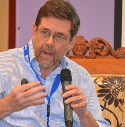
Lou Verchot

Senior scientist and sustainability lead at SERVIR-Amazonia, Alliance Bioversity International - CIAT

Become a member of the Network

If you are interested in joining the network, please submit your application

HERE

Contact our service area leaders

 Land Cover, Land Use Change & Ecosystems

Land Cover, Land Use Change & Ecosystems

Karis Tenneson

Drought and Fire Risk

Drought and Fire Risk

Kátia Fernandes

Water & Water Related Disasters

Water & Water Related Disasters

Brian Zutta

Weather and Climate

Weather and Climate

Lou Verchot

News from the Academic Partner Network

Trinidad and Tobago strengthens capacities in the use of geospatial tools

The Caribbean nation finishes its first training program delivered by SERVIR-Amazonia. In 2021, SERVIR-Amazonia began a training program on the use of geospatial tools in five Caribbean countries: Guyana, Suriname, Trinidad and Tobago, Dominican Republic, and...

SERVIR-Amazonia delivers geospatial technology training to improve local resilience in the Caribbean

Capacity-building workshops delivered in Barbados, Trinidad and Tobago and Guyana to strengthen mangrove and hydrological event management. SERVIR-Amazonia provides training on geospatial technology capacity-building to governments, universities, research...

SERVIR-Amazonia holds training event on Environmental Monitoring with Google Earth Engine for its Academic Partner Network members

Partners In November 2022, an online training event "Environmental Monitoring with Google Earth Engine", was held by Conservación Amazónica (ACCA), as part of the SERVIR-Amazonia Program with the support of the Centre for Development and Environment of the University...

Improving Forest Classification of the Brazilian National Forest Inventory using the CEO Platform

The Brazilian Forest Service (Serviço Florestal Brasileiro-SFB) in collaboration with the Food and Agriculture Organization of the United Nations (FAO) recently held a hybrid workshop to support the Brazilian National Forest Inventory (IFN-BR) in its effort of forest...

Women in GIS advance their prosperity in the workplace

A group of 23 women from Brazil, Colombia, Ecuador, Guyana and Peru, attended the training “Advancing Women’s Prosperity in the Workplace.” This course was conducted by Arizona State University and the SERVIR-Amazonia Program with funding from SERVIR Global.

First steps for SERVIR-Amazonia in the Caribbean

SERVIR-Amazonia began the second quarter of 2022 by visiting five Caribbean countries, expanding the geographic impact of its Program.

Encuentro en Ecuador con implementadores del servicio en reducción del riesgo de eventos hidrológicos

Los días 7 y 8 de abril la Fundación EcoCiencia recibió en Quito, Ecuador la visita técnica de una delegación de SERVIR-Amazonia.

Using Geoserver for visualization, storage and web sharing of spatial data

The training about the use of an open source server for sharing geospatial data – Geoserver was held virtually between February 8th and 10th for members of 17 Amazonian organizations.

University of Arkansas and SERVIR-Amazonia, committed to increasing co-development capacity of geospatial solutions

With the participation of more than 50 professionals specializing in geographic information systems (GIS) from the six countries covered by the SERVIR-Amazonia program, a three-hour interactive training session in Geospatial Version Control took place on February 15.

Rondônia, fourth Brazilian state to join the SERVIR-Amazonia Program

The collaboration between SEDAM and SERVIR-Amazônia aims to reduce the environmental, economic and social impacts of climate-sensitive issues related to fires and droughts, and other issues that may affect ecosystem services and biodiversity in the region.

What we Tweet

Improving hydrological forecasting capacities is how #SERVIRAmazonia contributes to #WaterAction. On this #WorldWaterDay, we highlight the GeoGlows portals developed with @BYU and our stakeholders to achieve that 💧➡️ https://www.geoglows.org/ @SERVIRGlobal @BiovIntCIAT_eng #AREP

#DIADELOSBOSQUES #SERVIRAmazonia presenta app de pronósticos de incendios en la #Amazonía colombiana desarrollada con @sig_gis
y @UArkansas Facilitará toma de decisiones para prevención de desastres. Info: https://lnkd.in/eYPZJ36B #AREP
@NASA @USAID_Colombia @USAIDLAC

Load More

What we Read