Team
SERVIR-Amazonia’s people aim to prevent and mitigate the impact related to climate change, large infrastructure projects and related development activities in the Amazon region.
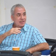
Carlos Gasco
Program Director (CIAT)
Carlos is the Project Director of SERVIR-Amazonia. He is an experienced international development professional who has worked on major international programs, primarily funded by USAID, providing overall program management, financial and administrative supervisory services, actively involving project stakeholders, and assuring general compliance of technical, financial and administrative client requirements.
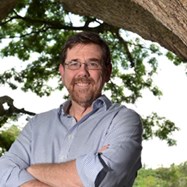
Louis Verchot
Senior Scientist (CIAT)
Louis is a forester with over 30 years of experience in the tropics. He leads CIAT’s research program on restoration of degraded lands with research interests in issues related to land use change, deforestation, and agroforestry contributions to climate change, monitoring greenhouse gas emissions, and restoration of ecosystem processes.
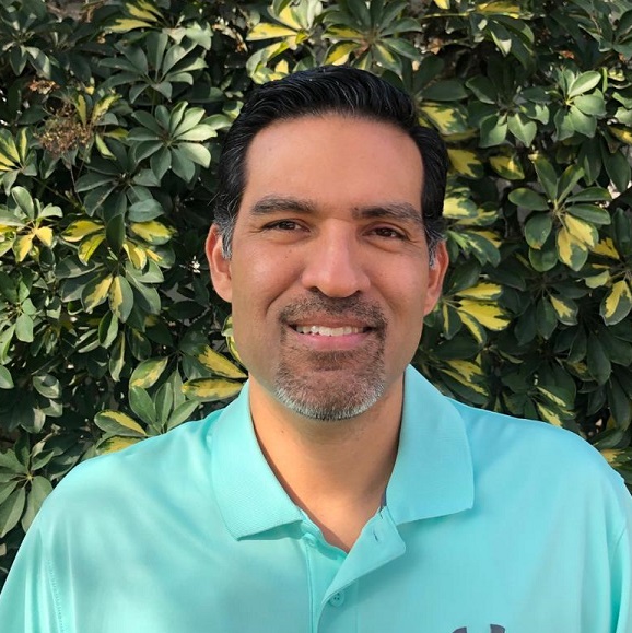
Brian Zutta
Science and Data Lead (SIG)
Brian is a multidisciplinary scientist with expertise in ecology, plant ecophysiology and remote sensing. His most recent work focuses on predictive geospatial modeling, deforestation and forest degradation monitoring, and bridging the gap between science and policy in Latina America. For several years, he served as the coordinator of the MRV and national forest monitoring system for REDD+ of the Ministry of the Environment of Peru.
José Leandro Fernandes
User Engagement Lead (CIAT)
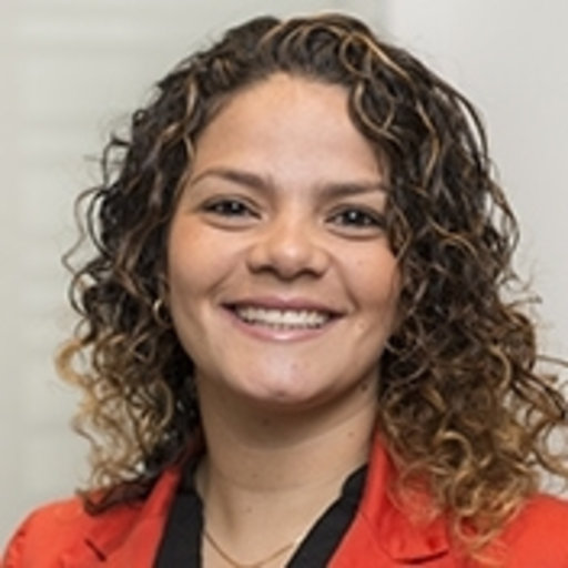
Natalia Uribe
Capacity Building Coordinator (CIAT)
Natalia is a scientist with experience in the development and application of geospatial and hydroinformatics technologies. In recent years, she has served as coordinator of projects related to drinking water, facilitating the implementation of knowledge transfer, monitoring and evaluation systems. Natalia has a PhD in Hydroinformatics from Delft University of Technology, the Netherlands.
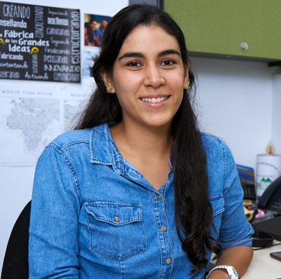
Paula A. Paz
Caribbean Engagement Coordinator (CIAT)
Paula is a Topographic Engineer, who works as a research assistant at the Alliance of Bioversity International and CIAT. Her work focuses on monitoring land use and cover changes in the tropics by using GIS and Remote Sensing. She has participated in the development and implementation of the Terra-i- system in several countries around Latin America and the Caribbean.

Sophie Alvarez
Monitoring, Evaluation and Learning Coordinator (CIAT)
Sophie is a Social researcher in Monitoring & Evaluation, Knowledge Management and Capacity Building and a Consultant with 15+ years of experience in the design and facilitation of participatory processes and evaluations. She has worked since 2005 leading and facilitating the design and implementation of Monitoring, Evaluation and Learning (MEL) systems for various Research for Development (R4D) international programs and projects; and in the development of specialized publications, materials, capacity building and training workshops in the topics of M&E, Impact Pathways, Theory of Change, Knowledge Management and Social Network Analysis. Before pursuing Sustainable Development Studies, she was a professional U.S. Court Interpreter.
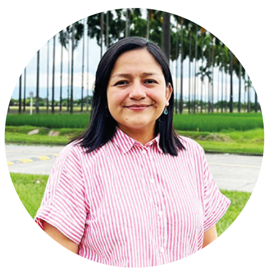
Carmen Calle M.
Communications Coordinator (CIAT)
Carmen is a Communications Specialist with a Master’s degree in Marketing and Corporate Communications Management. More than 13 years of work experience in Communications Management, Branding, Institutional Relations, and Social Media in international cooperation agencies, public relations, and NGOs known throughout the world.
Katia Villanueva
Agreement Office Representative (USAID)
Katia is the Agreement Office Representative. Working at USAID Amazon Regional Program Office as a Project Management Specialist she is in charge of supporting, coordinating and monitoring the technical, financial and administrative aspects of the SERVIR Amazonia activity from USAID’s side.
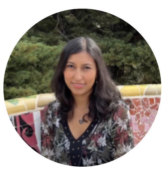
Natalia Molina
Communications Consultant (CIAT)
Natalia is a social communicator from the PUJ in Colombia and holds an MSc. in Media, Communication, and Development from the London School of Economics in the UK. She has specialized in the strategic communication of international cooperation projects for the protection of the environment, adaptation to climate change and sustainability.
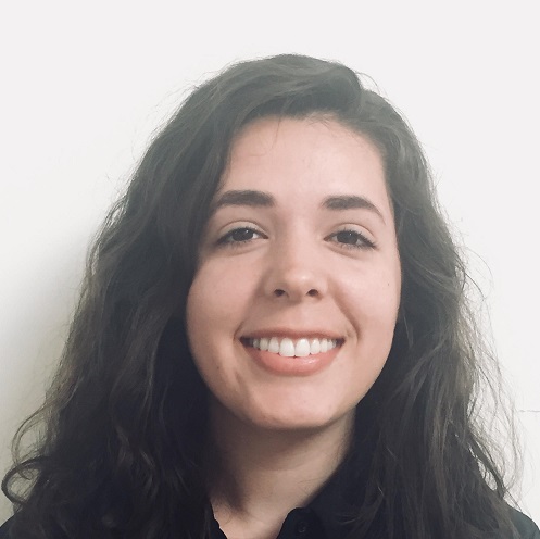
Vanesa Martín
Earth System Science Center Research Associate, University of Alabama
Vanesa’s research interests include the applications of optical and radar data for land use monitoring, food security, and biodiversity in Latin America. Her current work assesses how water quality in Belize may be affected by projected land cover and climate change impacts. She is also involved with the SAR-CBC project, which seeks to build capacity in Latin American partner institutions to use SAR data to carry out hazard monitoring.
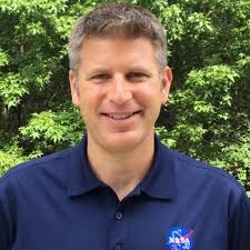
Doug Morton
Applied Science Team
(Goddard Space Flight Center)
Douglas Morton is a Physical Scientist at NASA’s Goddard Space Flight Center and an Adjunct Assistant Professor at the University of Maryland, College Park. Douglas studies land use change in tropical forests. He is also part of the research team for the Global Fire Emissions Database (GFED, globalfiredata.org), an effort to combine multiple sources of satellite data to better understand fire activity, greenhouse gas emissions from fires, and changes in savanna and tropical forest ecosystems following fire events. Douglas has been working in the Brazilian Amazon since 2000, in collaboration with scientists at the Instituto Nacional de Pesquisas Espaciais (INPE) and the Instituto do Homen e Meio Ambiente (Imazon).

Jim Nelson
Applied Science Team (Brigham Young University)
Jim’s research focus is hydrologic modeling and analysis specializing in geographic processing and visualization. As a principal member of BYU’s Environmental Modeling Laboratory (EMRL) he led the initial development of the Watershed Modeling System (WMS) now used by public and private agencies worldwide. In 2007 EMRL was successfully migrated to the private company Aquaveo (www.aquaveo.com). Jim has worked extensively in Latin America, leading capacity building activities, most recently under AmeriGEOSS of the Group on Earth Observations (GEO), and is an active participant of the Consortium of Universities for the Advancement of Hydrologic Science (CUAHSI) in promoting free and open source tools for water data sharing (worldwater.byu.edu).
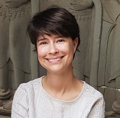
Naiara Pinto
Applied Science Team (NASA Jet Propulsion Laboratory)
Naiara Pinto is a landscape ecologist with the Radar Division at NASA/Jet Propulsion Laboratory in Pasadena, CA. As the science coordinator for the UAVSAR instrument, she enjoys developing data recipes to help researchers take advantage of new radar technology. For her research, Naiara employs field and remote sensing observations to characterize forest fragmentation in the context of agricultural expansion. In the last 10 years, Naiara has helped develop approaches to characterize forest 3D structure with Lidar and Synthetic Aperture Radar (SAR) data. Naiara is a Brazilian national and looks forward to working with SERVIR-Amazonia to refine agriculture and forest disturbance maps. One of the objectives of her project is to produce an online tool to support Zero Deforestation certification.

Stephanie Spera
Applied Science Team (University of Richmond)
Stephanie Spera’s research focuses on using remotely-sensed data, spatial statistics, climate models, and other tools to analyze trade-offs in ecosystem services. Much of her previous work has focused on mapping and understanding the socioeconomic drivers and consequences of land-clearing for large-scale agricultural expansion the eastern Amazon/Cerrado boundary in Brazil. She is excited to bring her expertise to this SERVIR-Amazonia team and focus on the Western Amazon.
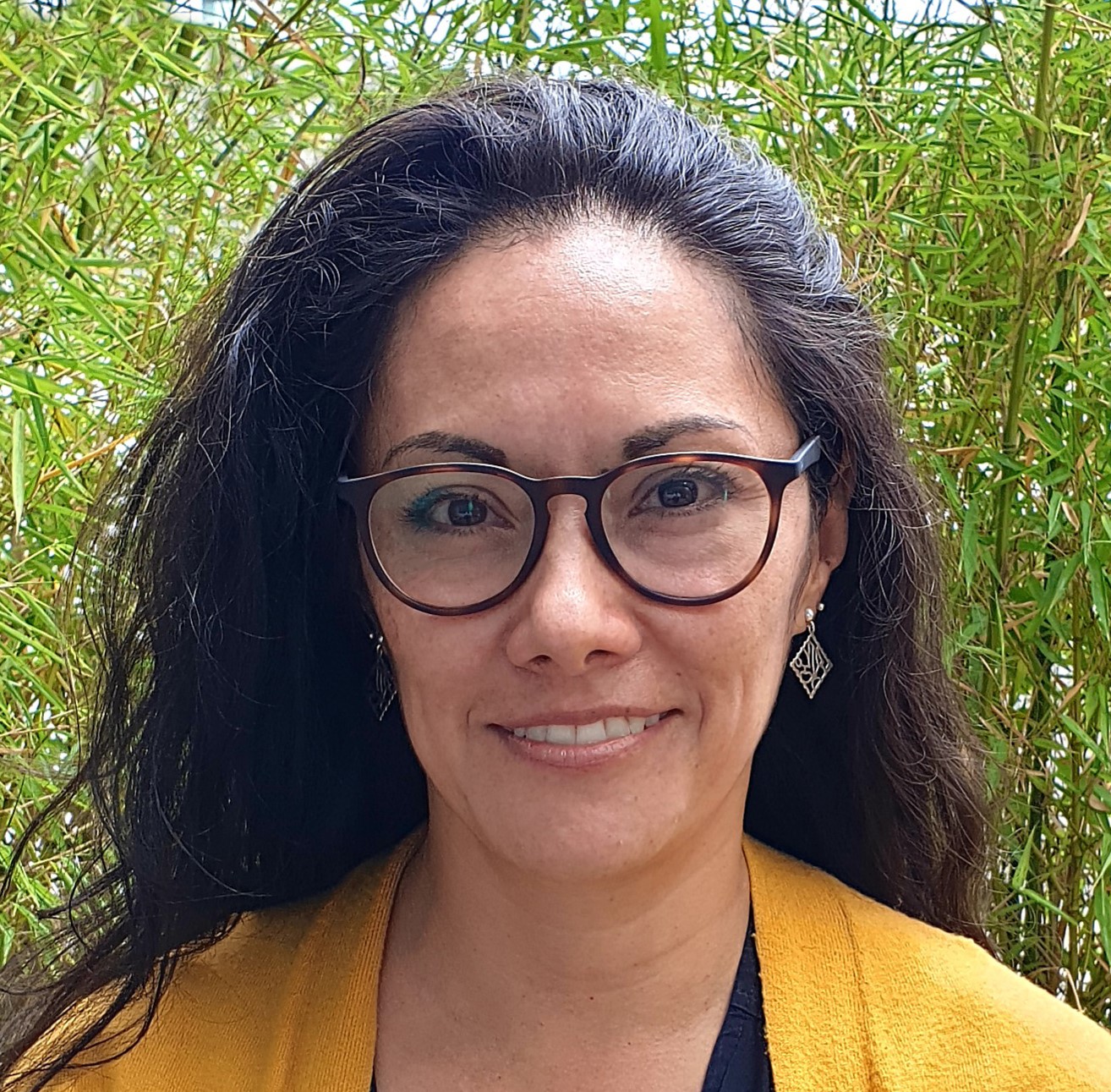
Ana María Acosta
Communications Coordinator
(Fundación EcoCiencia)
Ana María is the communications coordinator for Fundación EcoCiencia and is a journalist with a master’s degree in strategic communications. She has more than 15 years’ experience working in NGOs and international organizations in Colombia and Ecuador. She has developed topics in social marketing, knowledge management and institutional journalism. As part of the EcoCiencia team, she devises and implements communication strategies and communication inputs for projects and programs, both nationally and internationally, as well as institutional communication plans and strategies.
Jenny Burbano
Financial and Administrative Support (CIAT)
Jenny, a Colombian national, works at CIAT and offers financial and administrative support to SERVIR-Amazonia. Jenny holds a Bachelor in Business administration from Universidad de Santiago, Colombia; and a Bachelor in Information and Technology Systems from Universidad del Valle, Colombia.
Alejandra Leiva
Financial and Administrative Support (CIAT)
Silvia-Elena Castaño
GIS Specialist, GIT (CIAT)
Silvia, a Colombian national, studied Systems Engineering. Her taste for Geography motivated her to grow professionally in the area of Geographic Information System (GIS) at the master’s level as well as in the subject of Spatial Data Infrastructure (SDI). Additionally, Silvia has a keen interest in the dissemination of projects results, which has led her to work with data management, basic cartography, storymap and Cloud-based GIS platforms like ArcGIS Online.
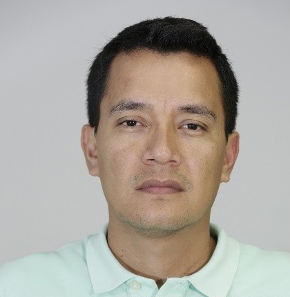
Ovidio Rivera
Systems Engineer, GIT (CIAT)
Ovidio is a Colombian systems engineer with expertise in GIS, providing computer technology support. In the last ten years he has participated in multiple research projects focused on land use, mainly contributing to spatial analysis, field work with RPAS and GPS, data management and web design and mapping. Ovidio is currently pursuing a master’s degree in GIS at UNIGIS Latin America.
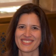
Kátia Fernandes
Climate Scientist (UARK)
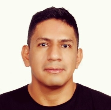
Jhon Jairo Tello
Software Engineer, GIT (CIAT)
Jhon Jairo is a specialist in software engineering at the Pontificia Universidad Javeriana Cali. He is the website manager of the Terra-i project working on the development of the web platform and on the processing, updating and data visualization. He has participated in the implementation and capacity building of Terra-i users in several Latin American countries. Jhon also has experience in drones and field data collection and validation. Jhon is a programmer for the visualization of geospatial data and general information such as JAVA, Google APIs, CartoDB, MapBox, among others.
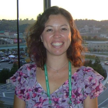
Mayesse Da Silva
Soil Scientist (CIAT)
Mayesse has over 7 years of experience working on soil and water management in Latin America and the Caribbean, Africa (Kenya and Ethiopia), and India. She holds a PhD in Soil Science through a joint program between the Federal University of Lavras/Brazil and Purdue University/United States. Has experience on mapping and modeling landscape-soil-hydrology relationships to develop quantitative predictable patterns reflected by soil geomorphology and on applying those relationships to support decision-making regarding soil and water management, soil remediation (heavy metals), land use planning, and landscape restoration.
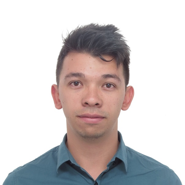
Javier Mauricio Martín
GIS specialist / Digital Soil Mapping (CIAT)
Javier is an agricultural engineer from the National University of Colombia with experience on Digital Soil Mapping (DSM) and Geoinformatics. He currently works as research associate at the Alliance of Bioversity International and CIAT. His work has focused on the application of Geographic Information Systems (GIS), remote sensing and Digital Soil Mapping for monitoring and modeling soil organic carbon, erosion risks, landuse changes, soil heavy metals and spatial variability of soil properties through machine learning and expert knowledge approaches.
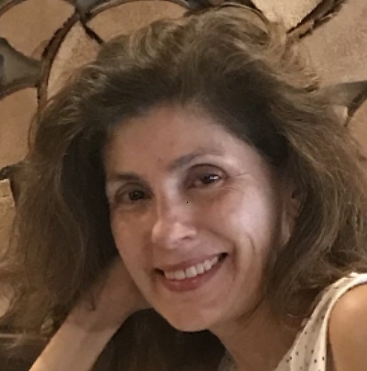
Ana Belen Torres Silva
Finance and Administrative Coordinator/Contracts and Grants Manager (Consultant) (CIAT)
Ana is a Colombian national, a business manager who specializes in finance. She has more than 18 years’ experience in administrative and financial management, grants and contracts, structuring and development of projects and strategic alliances in financial development programs for the American agency for international development (USAID) in Colombia. She has the skills to plan, coordinate and manage actions, and build harmonious and efficient work teams. She speaks Spanish and English.
Marina Irigoyen
Gender Advisor (Consultant) (CIAT)
Thomas Moore
Indigenous Peoples Advisor (Consultant) (CIAT)
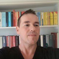
Ruben Coppus
Geographer (CIAT)
Ruben is a physical geographer who has lived and worked throughout Latin America. His main interest is in geospatial analysis related to land degradation and restoration. He has over 25 years of experience in academia, NGOs and the private sector where he gave, among others, hands-on GIS training for students and professionals at the beginners and advanced level.
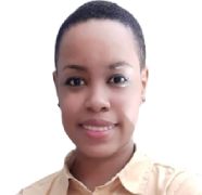
Kim Chan
Consultant, (CIAT/University of Guyana)
Kim is from Guyana whose studies include physical and human geography, ecologic studies, geology, GIS, and remote sensing. She also has experience with Python and Javascript Coding, and Google Earth Engine (GEE). Kim will be working at the National Agricultural Research and Extension Institute of Guyana (NAREI), Guyana, and closely with SERVIR-Amazonia to co-develop a GEE based mangrove monitoring platform.
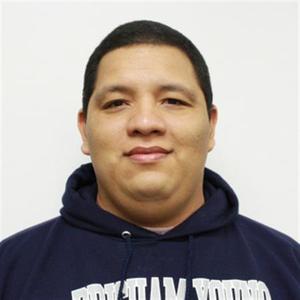
Jorge Luis Sanchez Lozano
Systems Engineer, GIT (CIAT)
Jorge Luis is a Colombian hydrologist who is doing his Ph.D. at Brigham Young University evaluating the accuracy for the historical simulation and the forecast of the Global Hydrological Model GEOGloWS ECMWF Streamflow Services before and after applying a bias correction methodology to the modeling results. Additionally, as visiting researcher at the Alliance Bioversity-CIAT, he is in charge to strengthen local capacities in the use and development of hydrological models for resource management, ecosystem services, and disaster management.
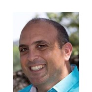
David Saah
Professor (University of San Francisco) and Senior Scientist (SIG)
David has been trained as an environmental scientist with expertise in landscape ecology, ecosystem ecology, hydrology, geomorphology, ecosystem modeling, natural hazard modeling, remote sensing, geographic information systems (GIS) and geospatial analysis. He has used these skills to conduct research primarily at the landscape level in a variety of systems.
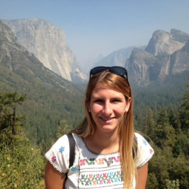
Fernanda López
Capacity building specialist
Fernanda is a biologist and environmental manager. She has a particular interest in Remote Sensing techniques. Fernanda has experience working in environmental education and conservation, and is currently collaborating in a project that aims to measure aboveground biomass using LiDAR technology.
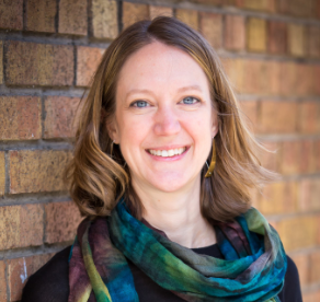
Karis Tenneson
Environmental Scientist (SIG)
Karis is an environmental scientist with expertise in ecology, statistics, remote sensing and GIS, and urban planning. Most recently her work has focused on monitoring land-use and land cover changes using, collaborative development of remote sensing-based decision support tools, building capacity for generating activity data for REDD+ and greenhouse gas inventories, assessing ecosystem services, and scenario planning. She has been managing the co-development of the regional land cover monitoring system with the SERVIR Mekong and Hindu Kush Himalaya hubs.
.
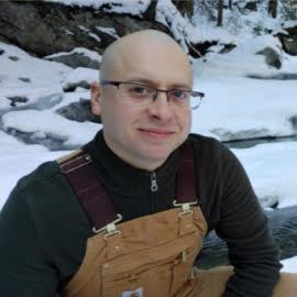
Gary Johnson
Director of Software Development
Gary is Director of the Software Development Team at SIG. His passion is finding new ways to use advanced computational techniques to solve meaningful environmental problems.
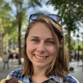
Crystal Wespestad
Project Manager
Crystal is a Geographic Information Systems (GIS) technology specialist graduated from the University of Arizona with experience on applied science project design and management. Among her areas of expertise there are geospatial tools and softwares such as ArcMap, ArcPro, QGIS, Github/Git and Python, among others.
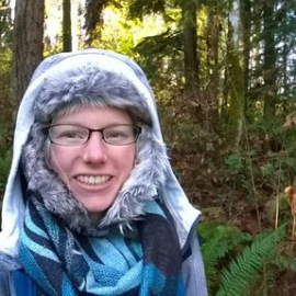
Karen Dyson
Geospatial Analyst
Karen holds a PhD in Urban Design and Planning from the University of Washington. She has experience leading and collaborating on research and science communication projects addressing diverse audiences. Her areas of expertise include applied methodologies such as ecological sampling design, sampling methods, including in urban ecosystems, case study design, among others.
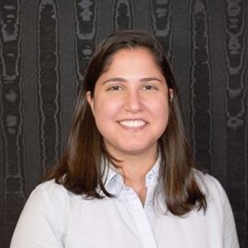
Andrea Puzzi
Geospatial Analyst
Andrea holds a master’s degree in Earth System Science from the University of Alabama in Huntsville. She is involved in the Mangrove monitoring project in Guyana by providing project coordination and technical/scientific support on capacity building for the prospective development of a tool for mangrove mapping and monitoring in Guyana. Support on trainings focused on geospatial analyses and algorithms using Optical and SAR datasets, Jupyter Notebooks, and Google Earth Engine. Among her areas of expertise there are key ones, such as Geospatial analysis, Remote sensing, Cloud based remote sensing and modelling, Image processing, and Machine learning.
.
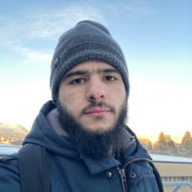
Sifeddine "Sif" Biri
Software Engineer
Sif is a GIS software engineer and works primarily with Environmental Mapping Domain products and tools.
Sidney Novoa
Project Manager (ACCA)
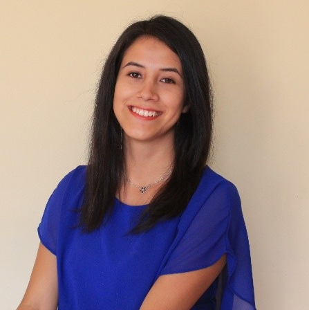
Milagros Becerra
Research Assistant, SIG specialist (ACCA)
Milagros is a geographer with emphasis in environmental science. She is a specialist in GIS and Remote Sensing applied to forest monitoring, land cover change, forest conservation and deforestation in the Amazon Region. She has participated in the development and implementation of Forest Zoning in the Amazon Region in Peru. She published a thesis at PUCP on “Agroforestry as a proposal for sustainable agriculture in amazon ecosystems”.
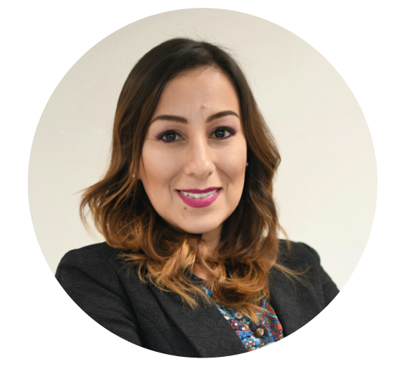
Carla Zavala
Communications Coordinator
(ACCA)
.
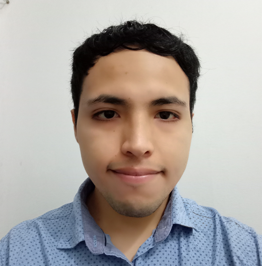
Marvin Quispe
GIS & Remote sensing Specialist
(ACCA)
Marvin is an Environmental Engineer with experience on Remote Sensing, GIS and the use of programming languages applied to spatial analysis and environmental sciences. He has developed projects and research in hydroinformatics, environmental numerical modeling, water resources in mining and Internet of things.
.
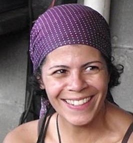
Isabel Garcia-Drigo
Gender and Indigenous People (IMAFLORA)
Isabel is a project coordinator of the Climate and Agriculture Supply Chain Initiative of IMAFLORA. Working at IMAFLORA since 2017, she focuses on governance issues of sustainable landscapes, monitoring, verification, and certification system at forestry and agriculture, natural capital studies. As a social auditor and FSC member, she works with gender and indigenous people issues.
.
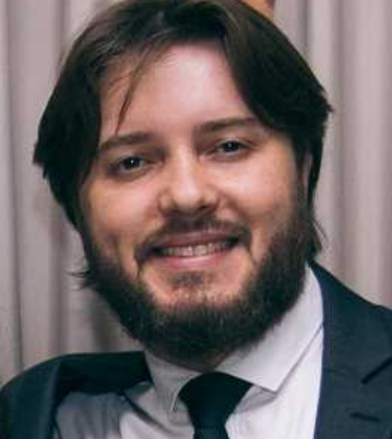
Adeandro Pedro de Castro Mota
Geotechnologies Coordinator (IMAFLORA)
Adeandro is a Geographer from the University of Belo Horizonte and a Specialist in Integrated Environmental Management. He is currently pursuing an MBA in Data Science and Analytics at USP/Sao Paulo University.
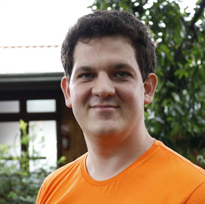
Felipe Cerignoni
Technical Leader (IMAFLORA)
Felipe is a geoprocessing analyst at IMAFLORA. His work is about developing and maintaining spatial databases to help with analysis and modeling frameworks to identify possible synergies between agriculture production and nature conservation in Brazil. He also works with full-stack web development to communicate the results of the spatial analysis on IMAFLORA’s platforms.
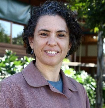
Heidi Buzato
Social Coordinator (IMAFLORA)
Felipe is a geoprocessing analyst at IMAFLORA. His work is about developing and maintaining spatial databases to help with analysis and modeling frameworks to identify possible synergies between agriculture production and nature conservation in Brazil. He also works with full-stack web development to communicate the results of the spatial analysis on IMAFLORA’s platforms.
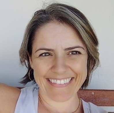
Priscila Mantelatto
Communications Coordinator
(IMAFLORA)
With a degree in Social Communication, specialized in Strategic Marketing and Business Administration, Priscila Mantelatto has extensive experience (24 years) in Communication Management and currently coordinates the communication area of Imaflora, developing communication strategies, promotional actions, campaigns, disclosures, management and positioning of the Institute’s branding, event organization and content production. Supervises the relationship with the media, in addition to the management of social media, web and coordination of the entire audiovisual production of the institute.
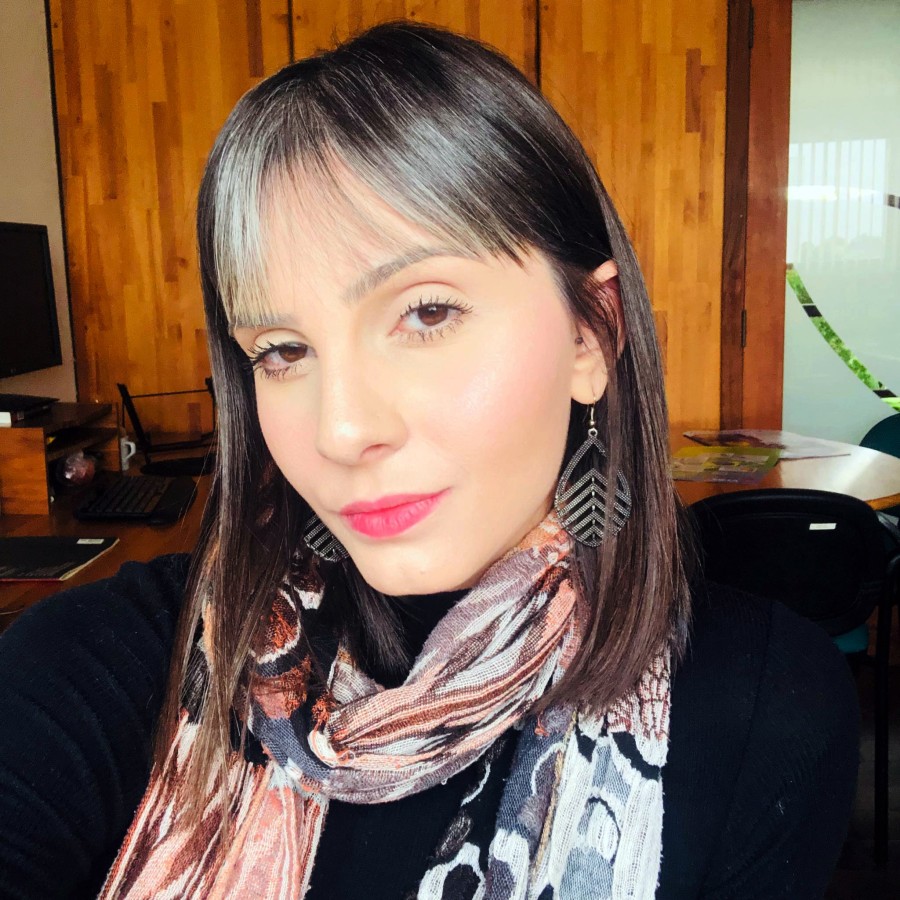
Marina Jordão
Communications Analyst
(IMAFLORA)
Marina has a degree in Advertising, specialized in Strategic Marketing is the Communication Analyst at Imafora and has been working for 8 years in the third sector. She currently contributes to the development of communication strategies and analysis, promotional actions, campaigns, advertising, brand positioning, production of content and visual communication products and management of social media platforms.
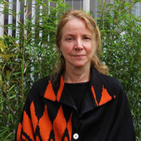
Carmen Josse
Executive Director (Fundación EcoCiencia)
Carmen holds a PhD in Biological Sciences with a specialty in vegetation and biogeography. Her experience lies in producing and managing information on biodiversity to support its planning processes, management and conservation policies. Carmen handles methods and products for classification, mapping and evaluation of ecosystems at the national level and throughout Latin America. She has experience with georeferenced tools for evaluating the adaptation of ecosystems to climate change, quantitative analysis of threats and monitoring of conservation objectives.
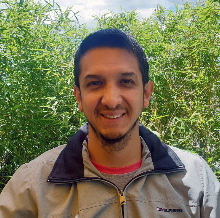
Rodrigo Torres Muñoz
Coordinator Geography Unit (Fundación EcoCiencia)
Rodrigo is a geographer and environmental engineer from the Military Polytechnic School of Ecuador, and has a master’s degree in Geographic Information Systems from the University of Salzburg-Austria. He has experience as a GIS specialist in the production of land use and deforestation maps for the Ecuadorian Amazon. He is in charge of managing the spatial component of EcoCiencia projects, with emphasis on the Amazon Geo-Referenced Socio-Environmental Information Network (RAISG), including projects that entail the collection and processing of georeferenced data, pressure analysis, and the generation of thematic maps. In addition, Rodrigo supports the MapBiomas Amazonía project.
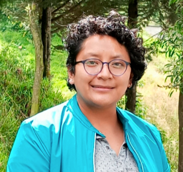
Lorena Caiza
GIS specialist (Fundación EcoCiencia)
Lorena is a Geographical and Environmental Engineer. During the last years she has worked in the automation of processes for the monitoring of forest dynamics, integrating artificial intelligence and teledetection, using SAR and UAV data together with passive sensors to support sustainable forest management. He is currently working on the development of services for CIIFEN.
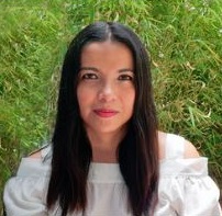
Sandra Terán
Geospatial Analyst (Fundación EcoCiencia)
Sandra is a Geographical Engineer, with a mention in Sustainable Development and Land Management, from the Pontificia Universidad Católica del Ecuador; Master in “Energy Science and Policy” at Ajou University – South Korea; and Master in GIS and Systems at Salzburg University. During her professional career, she acquired extensive experience in the management of GIS (open source and ARCGIS), management of spatial data infrastructure, digital processing of satellite images (remote sensors), projects related to conservation of forests under a REDD + approach, monitoring and evaluation of conservation areas at the national level, land use planning, natural resource management and sustainable forestry (timber and non-timber products), bio-economy, and renewable energies.


