by Carmen Calle | Nov 7, 2023 | Barbados, Capacity Development, Caribbean, Deforestation, Drought and Fire, Ecosystem Management, English, Events, Guyana, Trinidad and Tobago, Uncategorized, User engagement
Since its establishment in 2005, SERVIR Global has collaborated with numerous countries worldwide to promote the use of satellite and geospatial information in decision-making to strengthen weather and climate resilience, agriculture for food security, water security,...
by Carmen Calle | May 4, 2023 | Drought and Fire, English, Indigeneous People
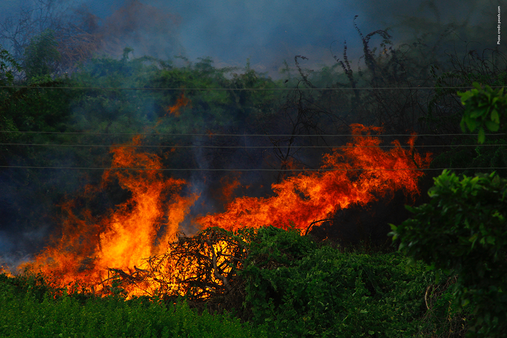
A new study, published in IOP Publishing’s journal Environmental Research Health, reveals that Indigenous people in the Amazon Basin are twice as likely to die prematurely from smoke exposure due to wildfires than the broader South American population. Regions in...
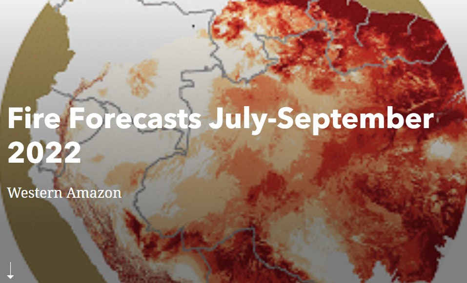
by SERVIR Team | Mar 24, 2022 | Brazil, Drought and Fire, Ecosystem Management, Ecuador, English, Hydro-climatic disasters, Peru, Portuguese, Services, Spanish
In their last year of collaboration with SERVIR-Amazonia, the first cohort of Applied Science Teams (ASTs) aims to complete services with partners in the Amazon. ASTs support SERVIR in developing science applications for international development through the use of...
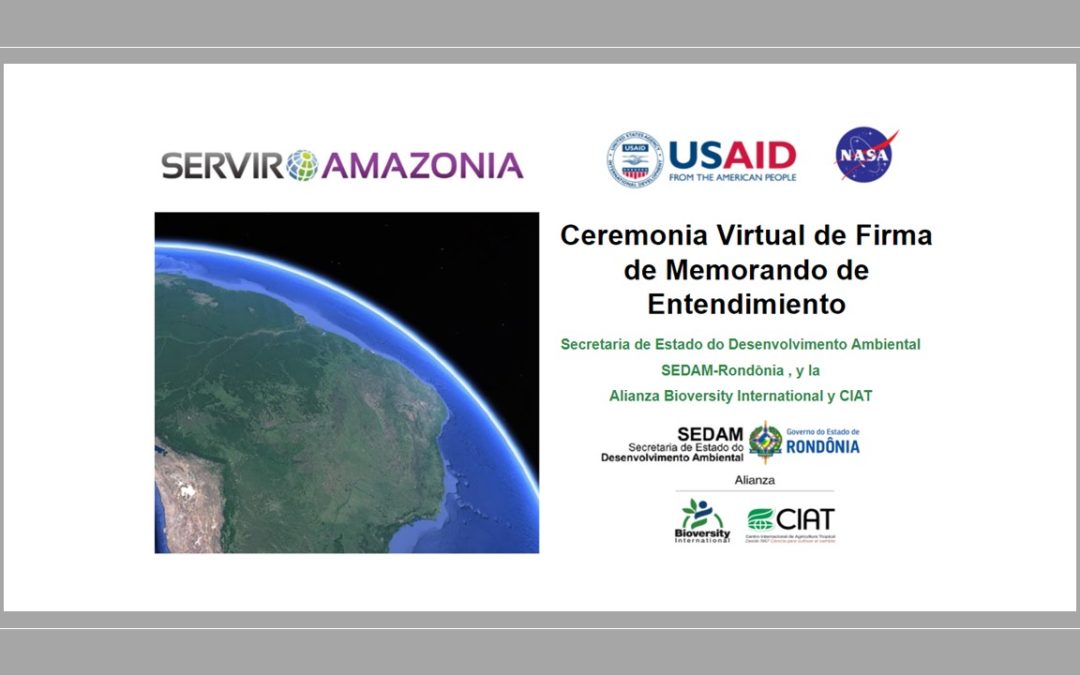
by Simone Staiger | Mar 7, 2022 | Brazil, Capacity Development, Deforestation, Drought and Fire, English, Portuguese, Services, Spanish, Stakeholder engagement
With the participation of USAID and NASA a new Memorandum of Understanding has been signed between the State Secretariat for Environmental Development (SEDAM-Rondônia) , Brazil, and the Alliance of Bioversity International and the International Center for Tropical...
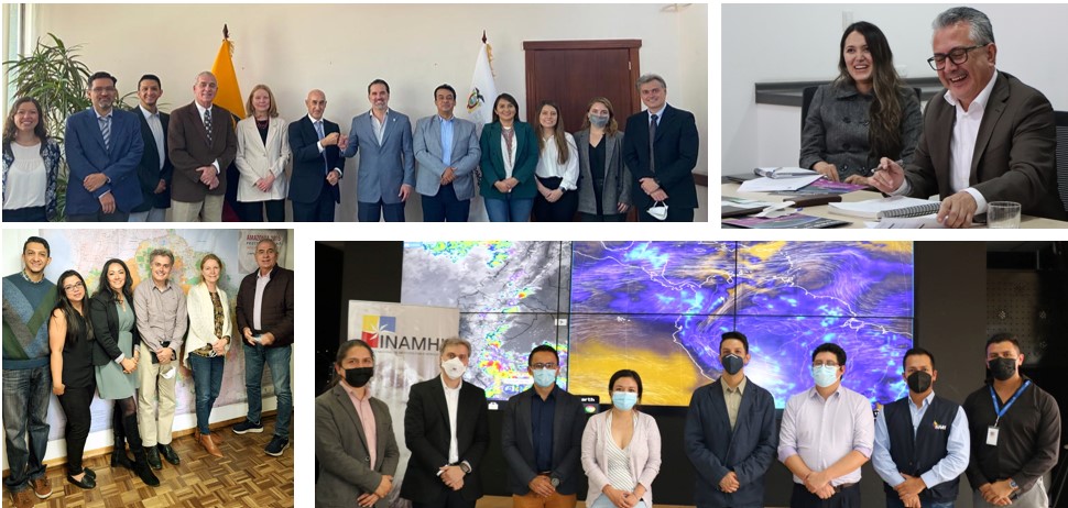
by SERVIR Team | Dec 7, 2021 | Deforestation, Drought and Fire, Ecuador, English, Portuguese, Services, Spanish
Autor: José Leandro Fernandes Un nuevo convenio firmado y el gusto de definir próximos pasos de colaboración de manera presencial con socios en Ecuador es el balance de la visita hecha a este país del 15 al 18 de noviembre de 2021, por una delegación compuesta por...