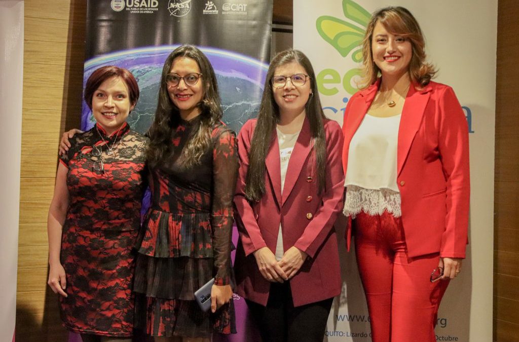
by Ana Acosta | May 16, 2024 | Ecuador, English, Uncategorized
To make visible the work of women in spatial data science and how they use it in their work, R-Ladies and Fundación EcoCiencia, as part of the commemoration of Women’s Day, held the event “Women in Spatial Data Science”, on May 7, 2024. The invited speakers...
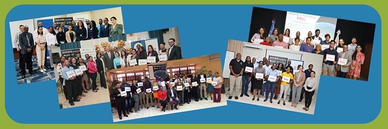
by Carmen Calle | Nov 7, 2023 | Barbados, Capacity Development, Caribbean, Deforestation, Drought and Fire, Ecosystem Management, English, Events, Guyana, Trinidad and Tobago, Uncategorized, User engagement
Since its establishment in 2005, SERVIR Global has collaborated with numerous countries worldwide to promote the use of satellite and geospatial information in decision-making to strengthen weather and climate resilience, agriculture for food security, water security,...
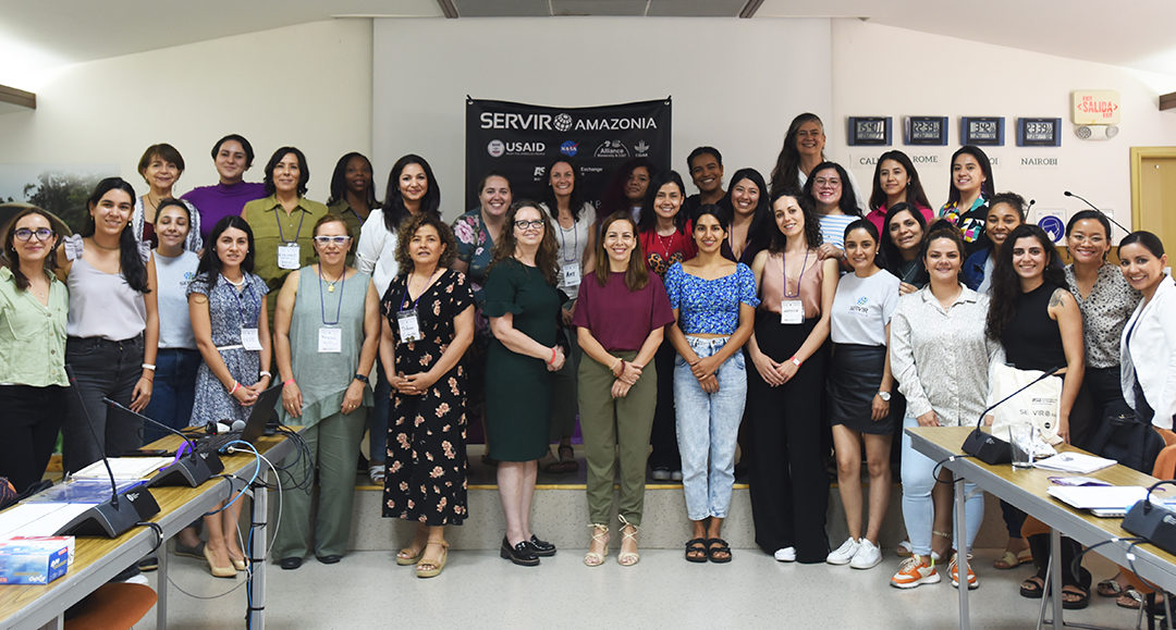
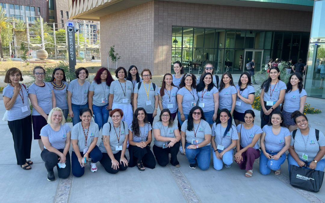
by Carmen Calle | Jun 14, 2023 | Brazil, Capacity Development, Colombia, Ecuador, English, Events, Gender, Peru, Spanish, Uncategorized
Continuing their efforts to promote the inclusion of more women in science and to strengthen their network of female professionals, the Arizona State University (ASU) Knowledge Exchange for Resilience Program and SERVIR-Amazonia, held a “Train the Trainers:...
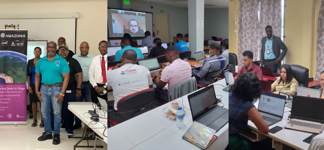
by Carmen Calle | Feb 16, 2023 | Barbados, Capacity Development, Caribbean, English, Guyana, Services, Trinidad and Tobago, Uncategorized, Water Resources and Extreme Events
Capacity-building workshops delivered in Barbados, Trinidad and Tobago and Guyana to strengthen mangrove and hydrological event management. SERVIR-Amazonia provides training on geospatial technology capacity-building to governments, universities, research...
by SERVIR Team | Sep 23, 2022 | English, Peru, Uncategorized
From May 15 to 20, 22 professional women from South America shared an intense face-to-face workshop, organized by the Knowledge Exchange for Resilience Program of Arizona State University (ASU) and the SERVIR-Amazonia Program, entitled “Advancing Women’s...