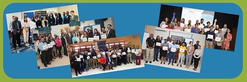
by Carmen Calle | Nov 7, 2023 | Barbados, Capacity Development, Caribbean, Deforestation, Drought and Fire, Ecosystem Management, English, Events, Guyana, Trinidad and Tobago, Uncategorized, User engagement
Since its establishment in 2005, SERVIR Global has collaborated with numerous countries worldwide to promote the use of satellite and geospatial information in decision-making to strengthen weather and climate resilience, agriculture for food security, water security,...
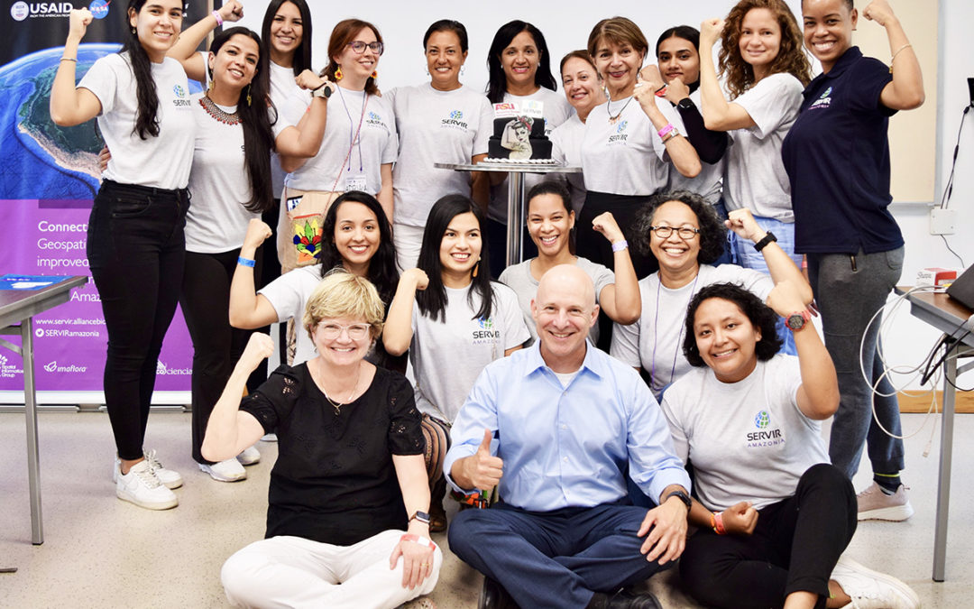
by Carmen Calle | Sep 4, 2023 | Barbados, Brazil, Caribbean, Colombia, Ecuador, English, Events, Gender, Guyana, Mangroves Monitoring, Peru, Trinidad and Tobago
Empowering women in scientific and technological areas is one of the SERVIR-Amazonia Program’s cross-cutting themes. To this end, a new workshop was held last August on the “Empowerment Women in Mangrove Forest Monitoring and Leadership”, hosted by the Alliance...
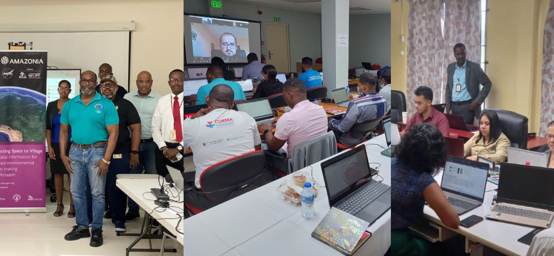
by Carmen Calle | Feb 16, 2023 | Barbados, Capacity Development, Caribbean, English, Guyana, Services, Trinidad and Tobago, Uncategorized, Water Resources and Extreme Events
Capacity-building workshops delivered in Barbados, Trinidad and Tobago and Guyana to strengthen mangrove and hydrological event management. SERVIR-Amazonia provides training on geospatial technology capacity-building to governments, universities, research...


