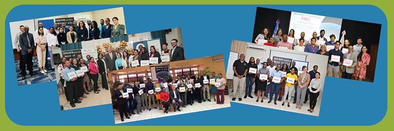
by Carmen Calle | Nov 7, 2023 | Barbados, Capacity Development, Caribbean, Deforestation, Drought and Fire, Ecosystem Management, English, Events, Guyana, Trinidad and Tobago, Uncategorized, User engagement
Since its establishment in 2005, SERVIR Global has collaborated with numerous countries worldwide to promote the use of satellite and geospatial information in decision-making to strengthen weather and climate resilience, agriculture for food security, water security,...
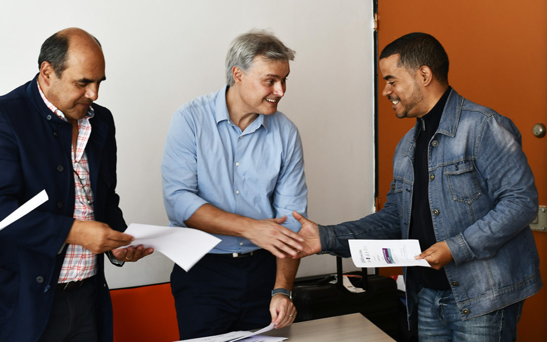
by Carmen Calle | Sep 4, 2023 | Colombia, Ecosystem Management, English, Events, Mangroves Monitoring, Stakeholder engagement, User engagement, Water Resources and Extreme Events
During a warm ceremony held in August, which was attended by Luis Ernesto Rodríguez, Dean of the Faculty of Agricultural Sciences at the National University of Colombia (UNAL), 22 students were certified in geospatial tools and technologies to enhance their skills in...
by SERVIR Team | May 27, 2022 | Capacity Development, Caribbean, Climate Change, Ecosystem Management, English, Mangroves Monitoring
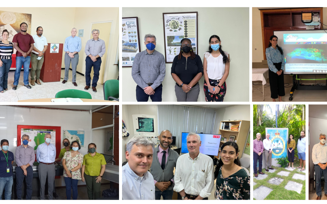
SERVIR-Amazonia began the second quarter of 2022 by visiting five Caribbean countries, expanding the geographic impact of its Program. The objective of the activity which is funded by the United States Agency for International Development (USAID) for a 2-years period...
by SERVIR Team | Mar 30, 2022 | Brazil, Ecosystem Management, English, Gender, Indigeneous People, Portuguese, Services, Spanish
Indigenous women and women of isolated rural communities express interest in using geospatial technology to protect community forests in the Brazilian Amazon The Origens Brasil® network, facilitated and administrated by the Brazilian NGO Imaflora, connects community...
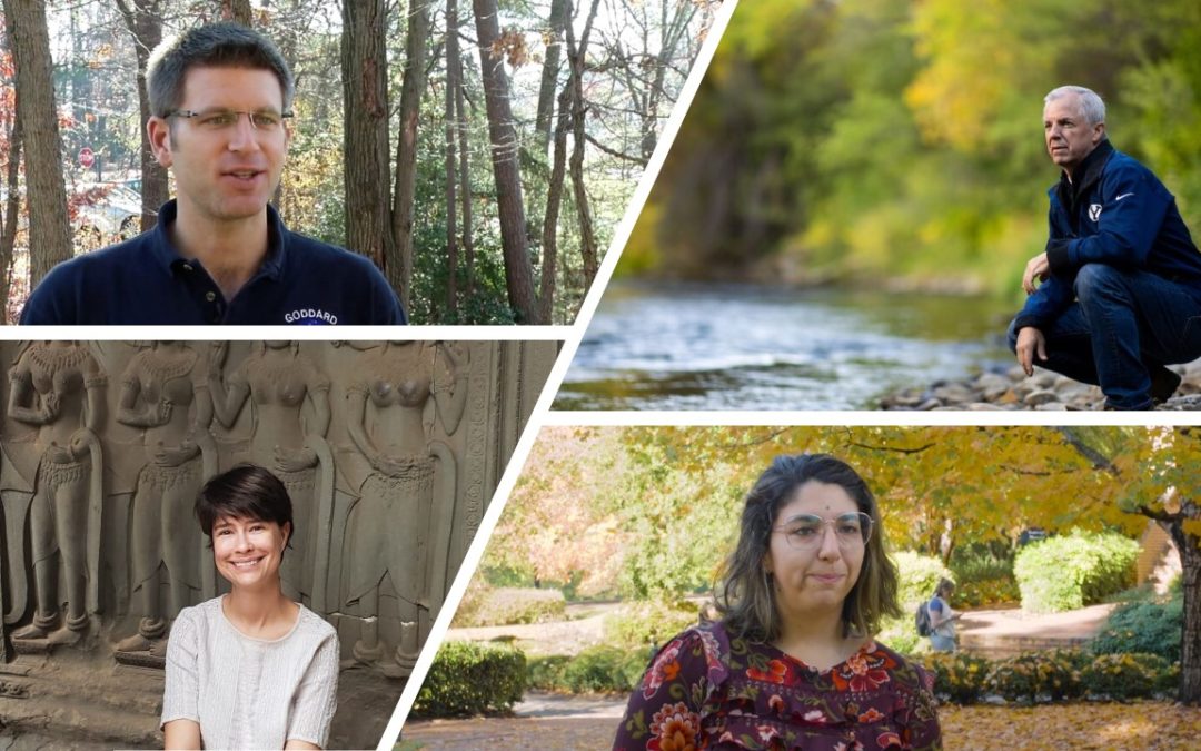
by SERVIR Team | Mar 24, 2022 | Brazil, Drought and Fire, Ecosystem Management, Ecuador, English, Hydro-climatic disasters, Peru, Portuguese, Services, Spanish
In their last year of collaboration with SERVIR-Amazonia, the first cohort of Applied Science Teams (ASTs) aims to complete services with partners in the Amazon. ASTs support SERVIR in developing science applications for international development through the use of...
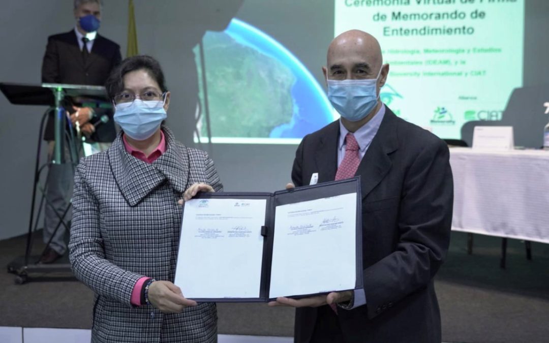
by SERVIR Team | Mar 8, 2022 | Colombia, Ecosystem Management, English
This Memorandum is the result of a close collaboration between the SERVIR-Amazon Program and the NASA Applied Science Team led by Jim Nelson for risk reduction of hydrometeorological events. Bogota, D.C; March 7, 2022. With the participation of the United States...


