


Capacity-building workshops delivered in Barbados, Trinidad and Tobago and Guyana to strengthen mangrove and hydrological event management.
SERVIR-Amazonia provides training on geospatial technology capacity-building to governments, universities, research institutions, and NGOs across the Caribbean to advance environmental decision-making based on geospatial technology, information, and data. The training is funded by the United States Agency for International Development (USAID) and focused on two topics: mangrove monitoring based on land/use or land/cover change mapping approaches, and flood monitoring approaches that integrate climate and hydrological data. The objective of these technologies is to strengthen resilience to natural disasters in local communities.
In 2023, SERVIR-Amazonia will provide 12 days of online and in-person training in 5 regions across the Caribbean, which are scheduled to end in September. The topics will include an Introduction to GIS with QGIS, Remote Sensing, Google Earth Engine, Radar, as well as Flood Mapping, Mapping Using Multiple Sensors (flood or mangroves), Map Validation Using Collect Earth Online, and Change Detection (flood or mangroves).
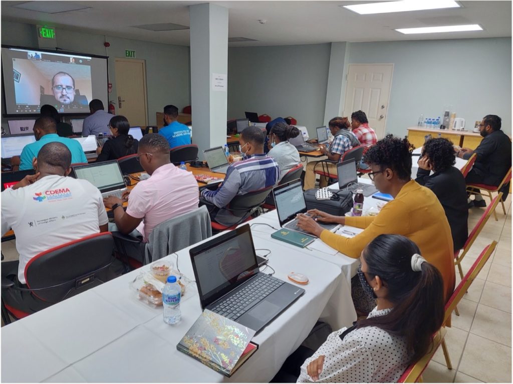
In December 2022 and January 2023, The Caribbean Institute for Meteorology and Hydrology (CIMH) and SERVIR-Amazonia hosted the first and second workshops of a planned series of training events in Barbados.
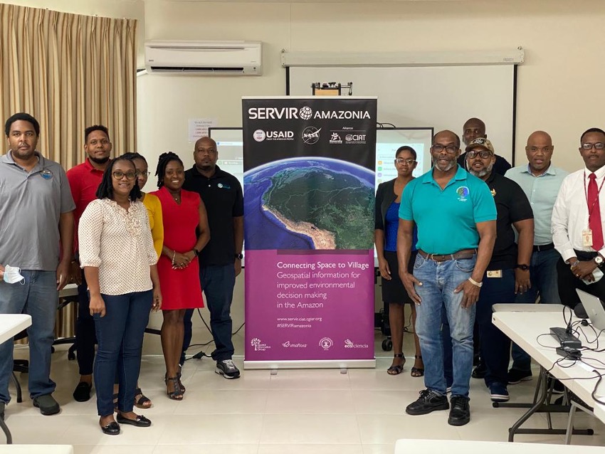
First capacity-building training event in Barbados Photo: Grahame Niles / CIMH
Twenty participants with 13 representatives from local stakeholder organizations attended the workshop, including 7 online representatives from regional stakeholder entities from Barbados, Grenada, Antigua and Barbuda, and The Bahamas. Prior to this capacity-building training, local partners were asked about their specific needs in 2022. Stakeholders in Barbados stated that they were very interested in methods, tools, and data for flood monitoring in order to prevent and manage disasters.
First capacity-building training event in Barbados Photo: Grahame Niles / CIMH
In line with similar events in other countries, SERVIR-Amazonia MEL Coordinator, Sophie Alvarez, spoke about the significance of monitoring, evaluation, and learning. She introduced SERVIR-Amazonia Program indicators in the Caribbean and talked about the importance of using the information and tools taught in their areas of work. She also explained the importance of sharing information, adapting, and replicating methodologies. Participants briefly discussed and shared their thoughts about how they would use what they had learned during the training, what the purpose might be, and appropriate audiences to work with.
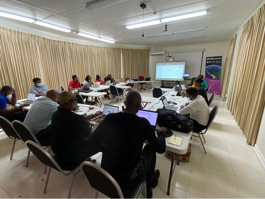
Second capacity-building training in Barbados
Photo: Grahame Niles / CIMH
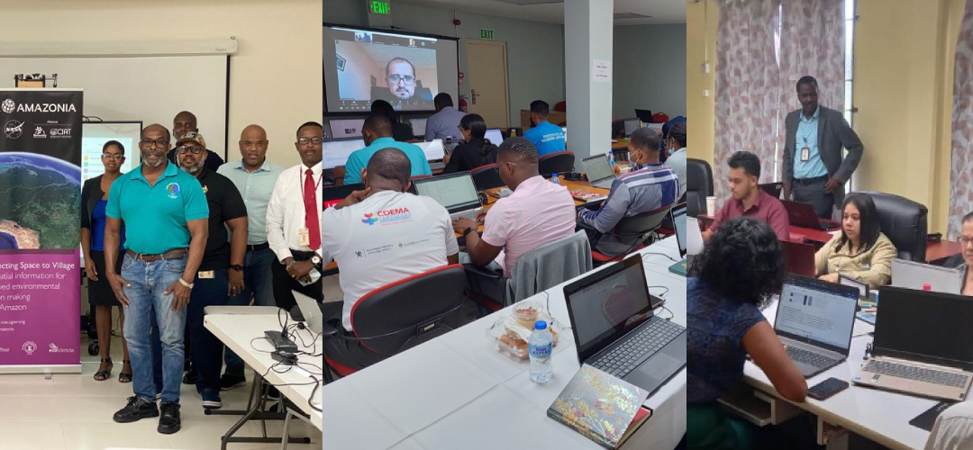
SERVIR-Amazonia and the Caribbean Meteorological Organization (CMO) also delivered the same training course in Trinidad and Tobago in January 2023 where they delivered 2 of the 12 training sessions. The two hybrid training sessions took place on January 19 and 26, and follow previous workshops held in Port of Spain; “Introduction to Remote Sensing” and “Introduction to Radar with QGIS”. Twenty-eight participants attended the January sessions, 16 of whom were representatives from local stakeholder organizations. Local partners in Trinidad and Tobago also expressed an interest in learning about flood monitoring tools and disaster prevention.
Second hybrid training in Trinidad and Tobago
Photo: SERVIR-Amazonia
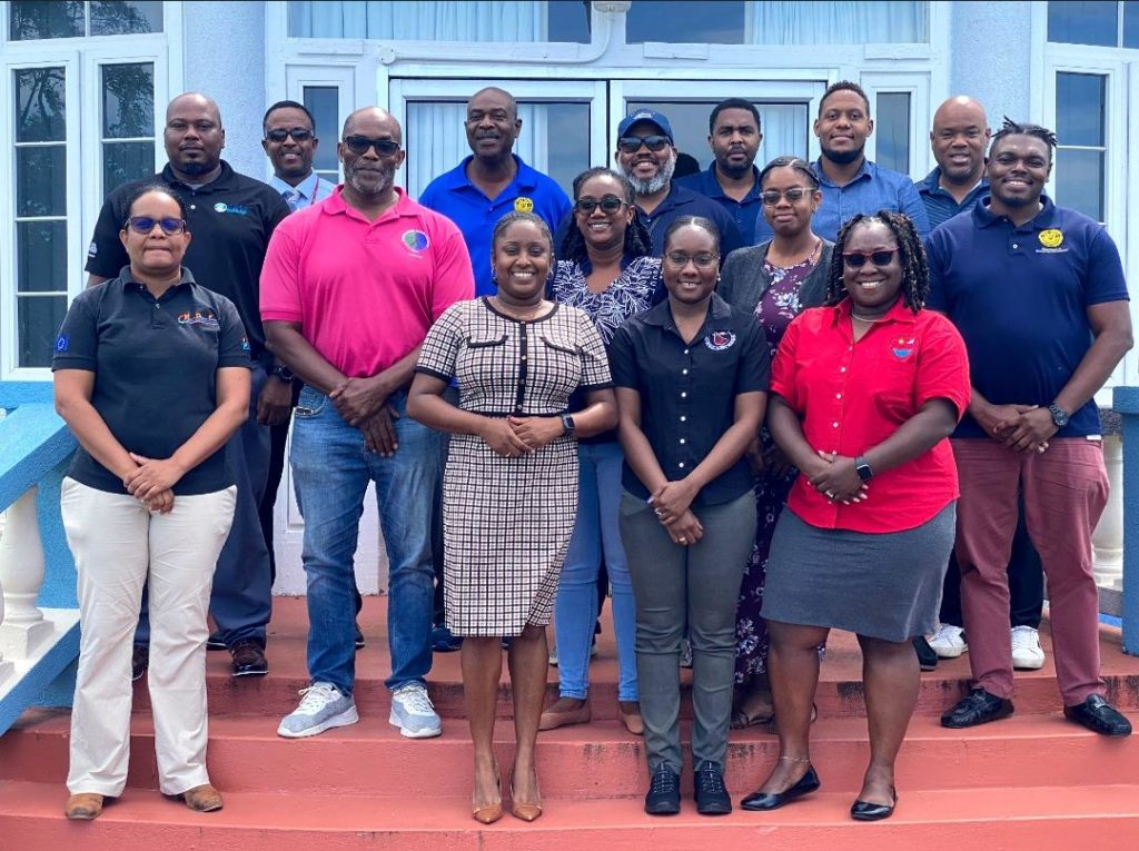
The first 2 training sessions of this capacity-building program were delivered in November 2022 and January 2023 in Guyana. Carried out with a local partner, University of Guyana, these sessions introduced participants to geospatial technology tools. Based on information previously gathered at the needs assessment workshops held in 2022, an introduction to Google Earth Engine was included in the second session in Guyana, with special emphasis on programming, image processing, and visualization. Eighteen participants with 12 representatives from local stakeholder organizations attended the event at The University of Guyana. Learning about mangrove monitoring was an important request made by partners in Guyana.
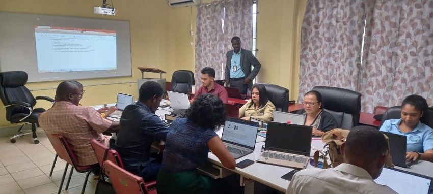
First capacity-building training in Guyana Photo: Kim Chan-Bagot, SERVIR-Amazonia
This ambitious training program will also take place in the Dominican Republic and Suriname to strengthen local GIS capacities.