


Partners
In November 2022, an online training event “Environmental Monitoring with Google Earth Engine”, was held by Conservación Amazónica (ACCA), as part of the SERVIR-Amazonia Program with the support of the Centre for Development and Environment of the University of Bern and the Wyss Academy for Nature. This second online training event on Google Earth Engine happened on November 8, 10, 16, and 17 and was attended by the Academic Partner Network members of SERVIR-Amazonia.
The Academic Partner Network is an ongoing effort to connect universities and academic institutions in the region and with their counterparts in the United States and other universities. On this occasion there were participants from Brazil that included Universidade Federal de Acre (UFAC) and Universidade Estadual do Pará, as well as educational organizations such as Meninas da Geo em Brasil. There were also representatives from the Universidad Nacional de Colombia (UNAL) and Universidad Nacional Agraria La Molina (UNALM) from Peru. Several of these institutions also take part in research and development of the Program’s geospatial services.
Objective
The training presented the main theoretical and practical concepts of Google Earth Engine (GEE), which is a geospatial analysis tool based on cloud computing that allows access to a wide catalog of geospatial data (images from satellites constellations such as Landsat-8, Sentinel-2, and Planet NICFI, among others). It is capable of processing large amounts of data in order to perform analyzes on a regional and national scale, quickly and efficiently.
The online training event took place over 4 sessions
Opening remarks were delivered by Sidney Novoa (Director of GIS and Conservation Technology), Katia Villanueva (USAID Agreement Office Representative), Vanesa Martin (NASA SERVIR-Amazonia Regional Science Coordination Lead), Carlos Gasco (CIAT SERVIR-Amazonia Program Director), and Miguel Saravia (South America Hub Director for Wyss Academy for Nature).
The first session on November 8, covered an Introduction to the GEE interface, basic knowledge of JavaScript language, and a demonstration of the GEE objects and concepts. This session was led by Lukas Würsh from the Centre for Development and Environment. During the second session on November 10, Professor Kaspar Hurni from the Centre for Development and Environment, presented Landsat and Sentinel 2 time series pre-processing and explained how to build an image collection free of clouds. Additionally, Kaspar Hurni demonstrated the CDE image composition tool which is a practical way to generate a cloud-free mosaic, using inputs from the users. During the afternoon session, a presentation was given of the access demo to Planet NICFI, and an overview of Fire Monitoring with NASA FIRMS and RADD Alerts data available in the GEE Catalog (Link).
The third session on November 16, was focused on an introduction to Image Classification and Change Detection (Link). Andrea Puzzi Nicolau, from the Spatial Informatics Group, presented different types of image classification (supervised and unsupervised), and classifiers such as CART, Random Forest, and K-means. Participants were also introduced to advanced change detection algorithms, that leverage time series analysis, such as LandTrendr, CODED, and MTDD.
The last session on November 17, looked at environmental data and status analysis, as well as changes and trends. These mainly involved data about Evapotranspiracion, Precipitation and Temperature trends, as well as sources needed for mapping ecosystem services in Amazonia.
Resources:
The presentations and sources of information used in the training events are available in this PDF and the Google Earth Engine Repository 2022.
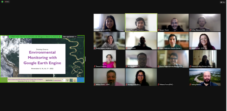
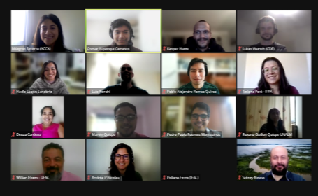
Photo of the training event facilitators and participants.
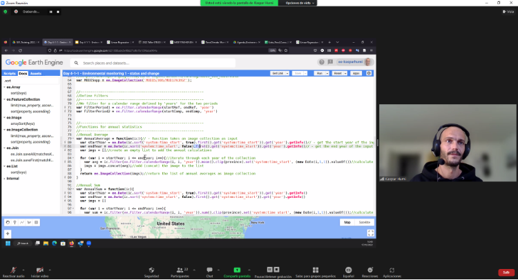
Professor Kaspar Hurni from the University of Bern illustrates the optical dataset from Landsat and Sentinel 2.
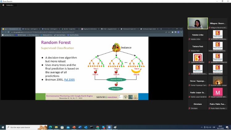
Professor Andrea Nicolau from the Spatial Informatics Group, illustrates the theory and the concept of Land Classification, showing two approaches for supervised and unsupervised classification.
Authors:
Kaspar Hurni (University of Bern), Lukas Würsch (University of Bern), Andréa Nicolau (SIG), Lucio Villa (UNALM), Osmar Yupanqui (ACCA) and Milagros Becerra (ACCA).