


News
Empowering Women through Geotechnology Training Event
Between April 11th and 13th, 2023, Júlia Niero and Heidi Buzato, from Imaflora, in partnership with Queren Luna from SIGMA/SEMAPI, conducted an online training event called "Empowering women through Geotechnology", which was designed by women and offered exclusively...
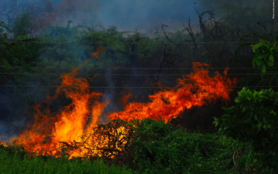
Indigenous people in South America are twice as likely to suffer severe consequences from fires
A new study, published in IOP Publishing’s journal Environmental Research Health, reveals that Indigenous people in the Amazon Basin are twice as likely to die prematurely from smoke exposure due to wildfires than the broader South American population. Regions in...
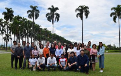
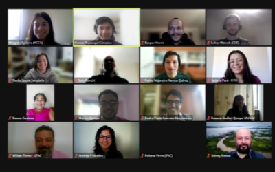
Collaborating for better geospatial services
In March, a four-day collaborative meeting took place at the Alliance of Bioversity International and CIAT in Palmira, Colombia, that brought together in one place, the geographic information systems, and technology (GIS/GIT) specialists from the SERVIR-Amazonia...
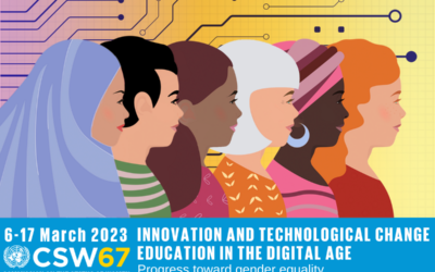
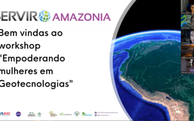
“We can encourage women to use geospatial services to take care after their territories”: SERVIR-Amazonia gender advisor, before UN commission
On March 16, 2023, during the 67th session of the United Nations Commission on the Status of Women, which focused on the inclusion of women in innovation and technology, the gender advisor to the SERVIR-Amazonia Program, Marina Irigoyen, participated with a lecture on...
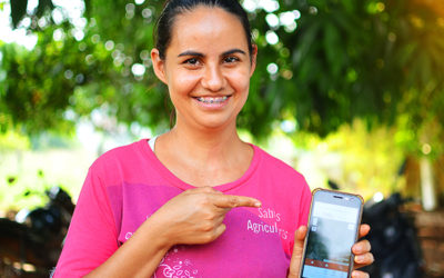
Women from the Brazilian Amazon learn to use geospatial tools to protect the forest and improve agroforestry production
By Heidi Buzato, Celma de Oliveira, Giulia Andrich and Natalia Molina. In the São Félix do Xingu municipality in the Brazilian Amazon, there is an association managed by women (AMPPF) that uses family labor to produce fruit pulp and cocoa from their agro-forests,...
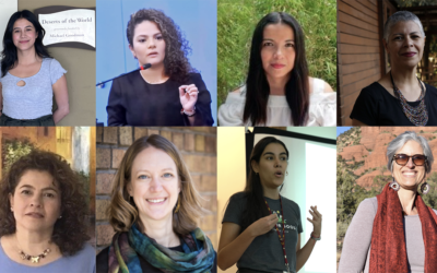
The women who work with geospatial technology to tackle climate change and protect biodiversity in the Amazon
According to recent UN data, women still represent only 28% of graduates globally in engineering and 40% in information technology and computing. This means a significant gender gap in STEM careers (science, technology, engineering, and mathematics) exists, with only...
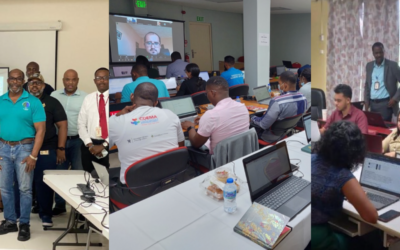
SERVIR-Amazonia delivers geospatial technology training to improve local resilience in the Caribbean
Capacity-building workshops delivered in Barbados, Trinidad and Tobago and Guyana to strengthen mangrove and hydrological event management. SERVIR-Amazonia provides training on geospatial technology capacity-building to governments, universities, research...
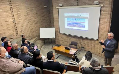
Strengthening the reach of our services to monitor illegal mining and hydrometeorological phenomena
As part of the SERVIR-Amazonia Program’s work to strengthen and expand the use of its services to monitor illegal mining and hydrometeorological phenomena, a technical team of the Program held meetings with key stakeholders in Colombia from January 17 to 19 of this...
As we say farewell to 2022, we celebrate “innovations´ use cases” made by our partners
By Sophie Alvarez and Carmen Calle, respectively M&E and Communications leaders in SERVIR-Amazonia, with contributions from Mayesse da Silva, Javier Martin, Jorge Luis Sanchez, Karina Sanchez, Rodrigo Torres, Andrea Puzzi- Nicolau, and Ana María Acosta. To end...
SERVIR-Amazonia holds training event on Environmental Monitoring with Google Earth Engine for its Academic Partner Network members
Partners In November 2022, an online training event "Environmental Monitoring with Google Earth Engine", was held by Conservación Amazónica (ACCA), as part of the SERVIR-Amazonia Program with the support of the Centre for Development and Environment of the University...
Subscribe to our newsletter
Newsletters
