


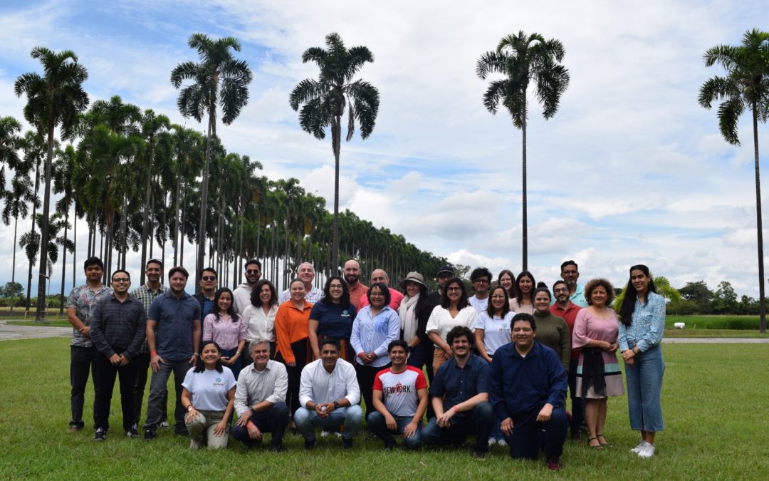
In March, a four-day collaborative meeting took place at the Alliance of Bioversity International and CIAT in Palmira, Colombia, that brought together in one place, the geographic information systems, and technology (GIS/GIT) specialists from the SERVIR-Amazonia Program. More than 35 specialists attended in person and online to exchange knowledge about progress and lessons learned from the geospatial services that have been developed, to generate synergies on topics such as geospatial data collection and transfer, developing applications, forest road detection, land cover, and deforestation mapping, hydrometeorological monitoring, fire forecasting, and carbon measurement methods.
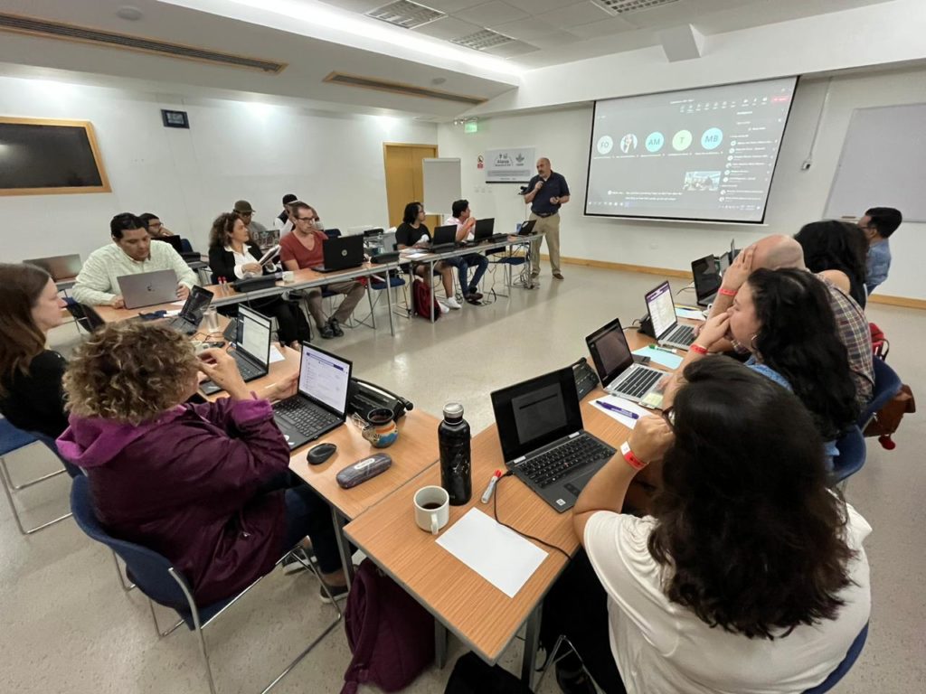
Photo: Carmen Calle
For Jhon Tello, TIG Program Specialist, “It was very important to open this space and the opportunity for all of us to be heard regardless of language, and additionally, to have people with great experience who gave advice, sources of information, and solutions to some of the challenges that we currently face us in the development of some services”.
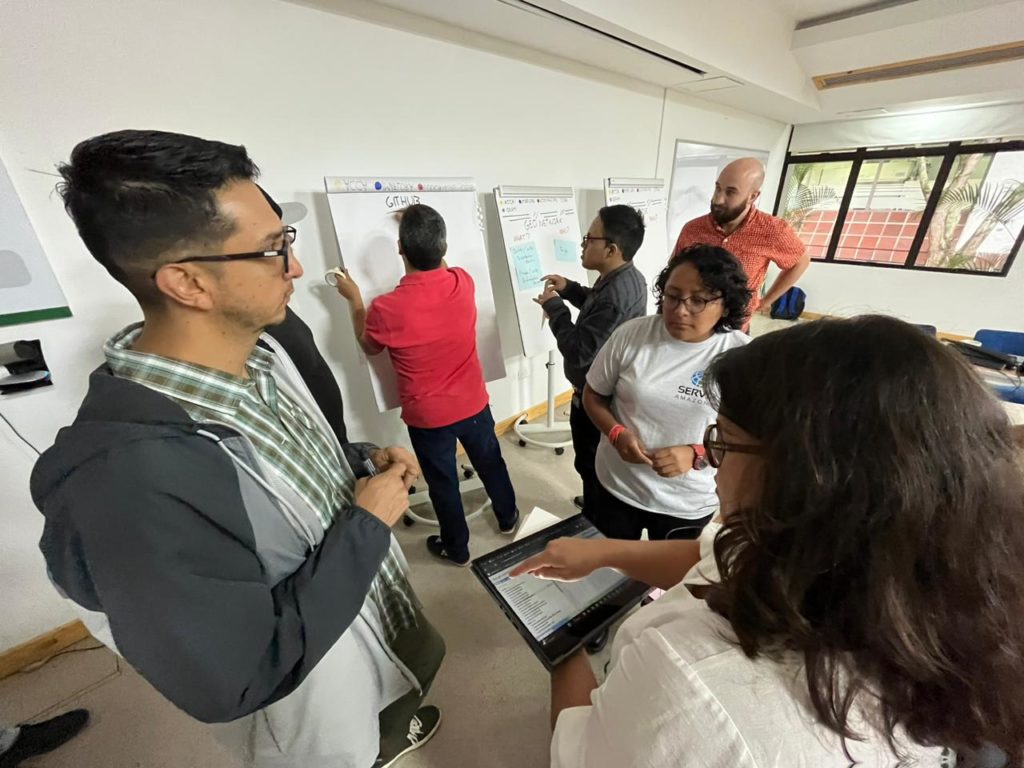
Photo: Carmen Calle
A presentation was also made at the meeting about the Github, GeoNetwork, and Dataverse repositories, which are available to the SERVIR-Amazonia Program to store data that it produces, to conduct training on the use of drones and data collection in the field, and to coordinate communications with the partner organizations Conservación Amazónica (ACCA), Fundación EcoCiencia and Imaflora.
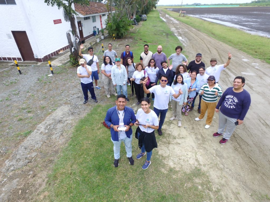
Photo: SERVIR-Amazonia