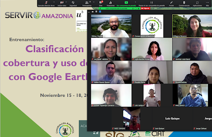
by SERVIR Team | Dec 2, 2021 | Capacity Development, Ecosystem Management, English, Peru, Portuguese, Spanish
Peruvian government institutions recently requested the SERVIR Amazonia program to improve its capabilities in processing satellite images for monitoring changes in land cover. In this sense, the Program offered training on the Google Earth Engine platform (GEE), an...
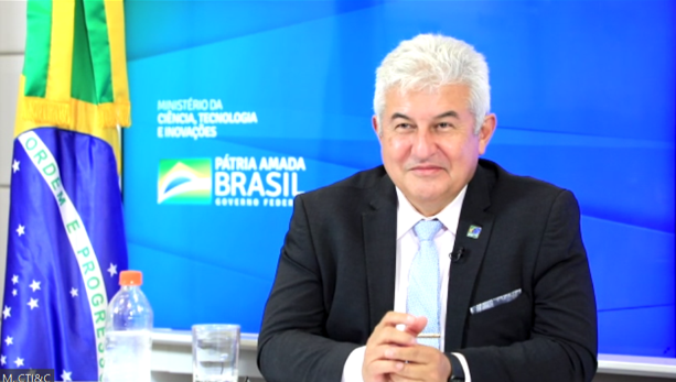
by SERVIR Team | Nov 29, 2021 | Brazil, English, Hydro-climatic disasters, Spanish
With the participation of Mr. Marcos Pontes, Minister of Science, Technology and Innovations (MCTI) and Brazilian astronaut, a memorandum of understanding was signed on November 22 to facilitate technical cooperation between the National Center for Monitoring and...
by SERVIR Team | Nov 22, 2021 | Brazil, Capacity Development, English, Portuguese, Services, Spanish
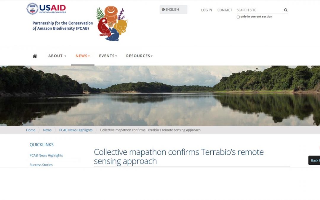
This post originally appeared on the website of the Partnership for the Conservation of Amazon Biodiversity (PCAB), a program of USAID and the Government of Brazil, under the title: Collective mapathon confirms Terrabio’s remote sensing approach TerraBio is a...
by SERVIR Team | Nov 22, 2021 | English, Portuguese, Services, Spanish
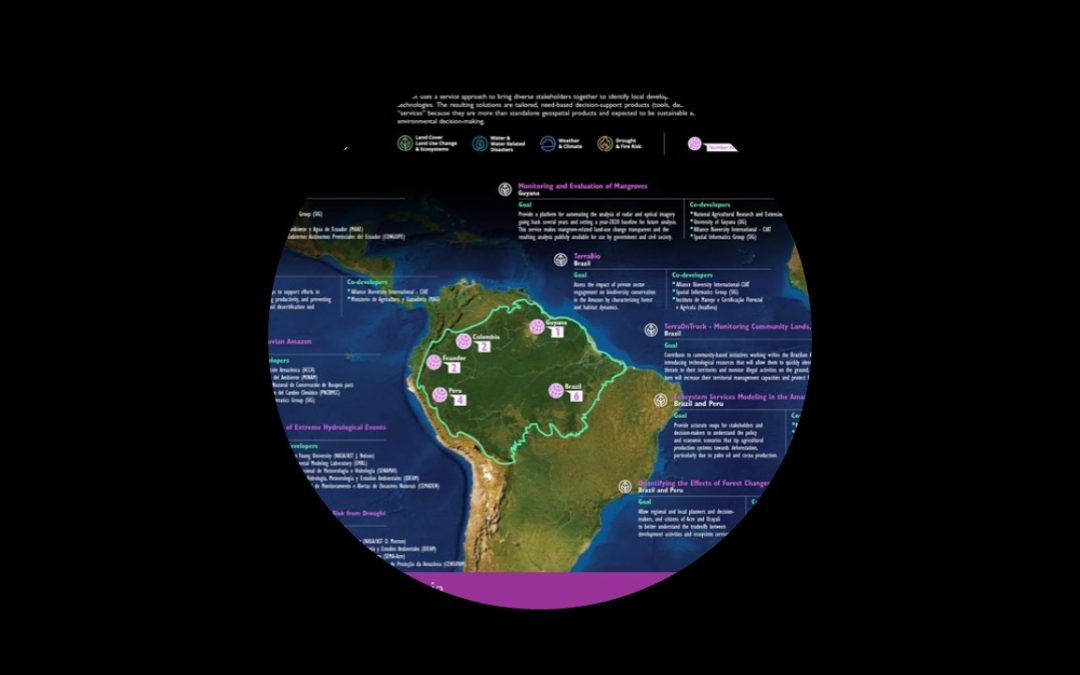
Looking back at three years of Program implementation, SERVIR-Amazonia saw significant progress in the co-development of services, culminating in the successful delivery of three services in the Land Cover, Land Use Change & Ecosystems service area. Brian Zutta,...
by SERVIR Team | Nov 13, 2021 | APN, Capacity Development, English, Portuguese, Services, Spanish
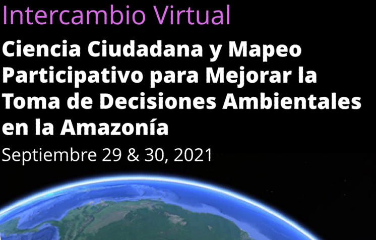
En este blog resumimos el evento de “Ciencia Ciudadana y Mapeo Participativo” organizado por SERVIR-Amazonia los días 29&30 de Septiembre del 2021 dando acceso a resumenes, presentaciones y grabaciones. El mapeo participativo, sea presencial o...
by SERVIR Team | Nov 12, 2021 | APN, Brazil, Capacity Development, Deforestation, Ecosystem Management, Ecuador, English, Portuguese, Services, Spanish
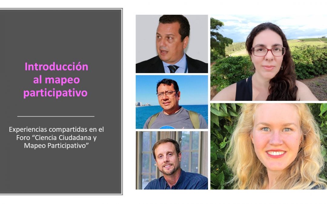
Ver los resúmenes anteriores: Sesión 1: “Voluntarios Digitales” Sesión 2: “Tecnología geoespacial y pueblos indígenas” Sesión 3: “Herramientas para agilizar la toma de decisión sobre el manejo territorial” Introducción al mapeo participativo Carolina de Carvalho...


