
by SERVIR Team | Oct 13, 2021 | Capacity Development, Climate Change, Ecosystem Management, English, Hydro-climatic disasters, Portuguese, Spanish, Stakeholder engagement
La colaboración busca el mejoramiento de predicciones hidrometeorológicas y monitoreo de ecosistemas de manglar en Ecuador El Centro Internacional para la Investigación del Fenómeno de El Niño, (CIIFEN), la Alianza de Bioversity International y el Centro Internacional...
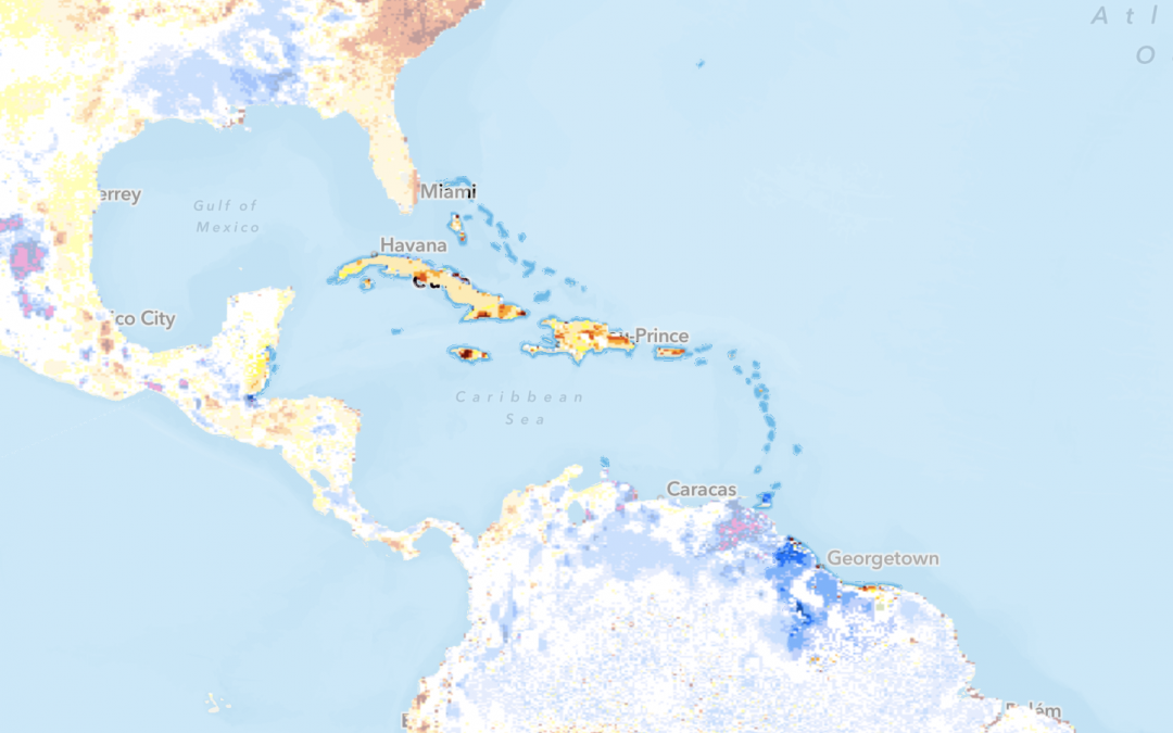
by SERVIR Team | Oct 11, 2021 | Capacity Development, Caribbean, Climate Change, English, Hydro-climatic disasters, Mangroves Monitoring, Portuguese, Services, Spanish, Stakeholder engagement
With additional funding from USAID, SERVIR-Amazonia will broaden the geographic impact of the Program by providing training and facilitating technical engagement with government, universities, research institutions, and NGOs in the Caribbean. SERVIR-Amazonia will...
by SERVIR Team | Jul 9, 2021 | Brazil, Drought and Fire, English, Portuguese, Spanish, Stakeholder engagement
O Governo de Roraima, por meio da Femarh (Fundação Estadual do Meio Ambiente e Recursos Hídricos), assinad parceria para apoiar as ações de monitoramento e georreferenciamento das áreas do Estado. A parceria fornecerá soluções por meio da utilização de dados ópticos e...
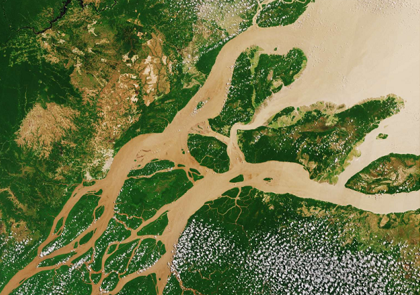
by SERVIR Team | Apr 19, 2021 | Brazil, Drought and Fire, Ecosystem Management, English, Hydro-climatic disasters, Portuguese, Services, Spanish, Stakeholder engagement
Brazil is one of the six countries of the Amazon basin covered by SERVIR-Amazonia, including Colombia, Peru, Guyana, Ecuador, Suriname. Needs-based services In line with its service co-development approach, SERVIR-Amazonia is bringing diverse Brazilian stakeholders...
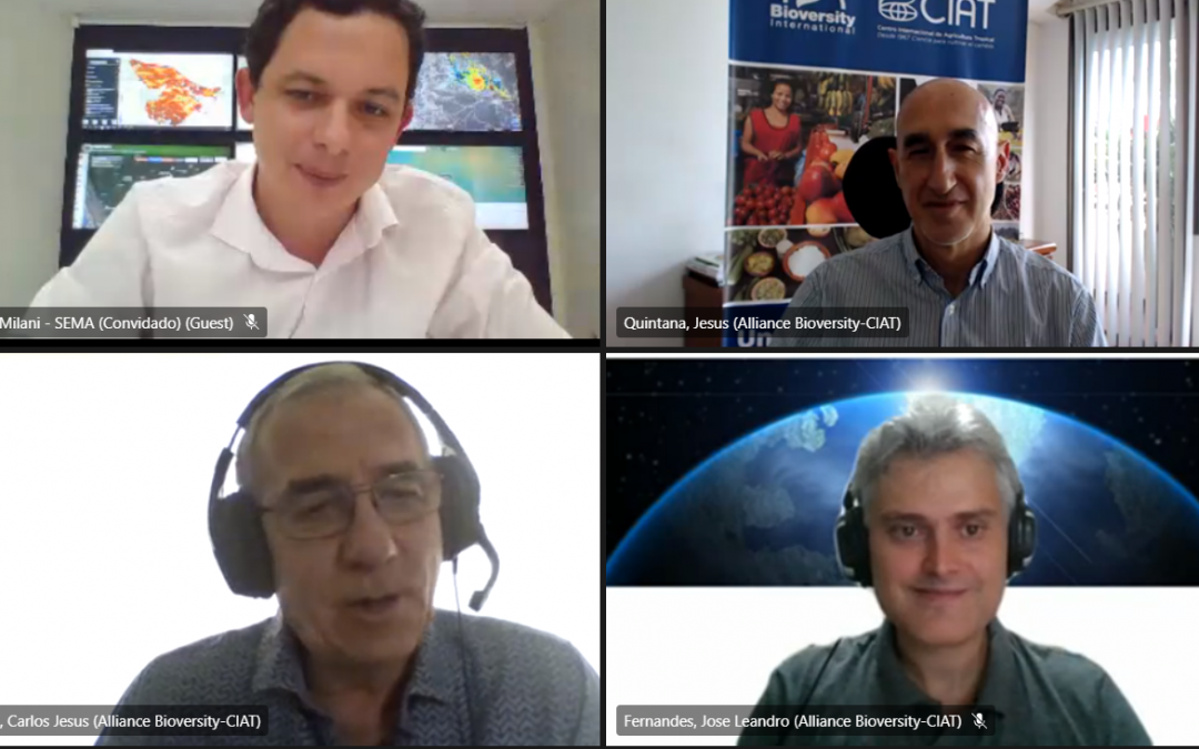
by SERVIR Team | Mar 23, 2021 | Brazil, English, Portuguese, Spanish, Stakeholder engagement
Com a participação da Agência dos Estados Unidos para o Desenvolvimento Internacional (Usaid), da Administração Nacional da Aeronáutica e do Espaço (Nasa), foi assinado nesta quarta-feira, 17, o memorando de entendimento entre o governo do Estado, por meio da...
by SERVIR Team | Feb 15, 2021 | Deforestation, Ecosystem Management, English, Guyana, Portuguese, Spanish, Stakeholder engagement
Guyana coastal area. Photo credit: NAREI Mangrove forests make up much of the coast of Guyana and they are under threat from growing population and land-use change. Because much of the coast of Guyana is below sea level, the mangroves serve as a natural barrier...


