


With additional funding from USAID, SERVIR-Amazonia will broaden the geographic impact of the Program by providing training and facilitating technical engagement with government, universities, research institutions, and NGOs in the Caribbean.
SERVIR-Amazonia will prioritize inter-institutional collaboration and interaction among stakeholders, and strengthen capacities in the Caribbean that are necessary to develop sustainable geospatial applications and services related to the monitoring of land use and land cover changes in mangrove ecosystems and in the forecast and monitoring of hydro-meteorological events.
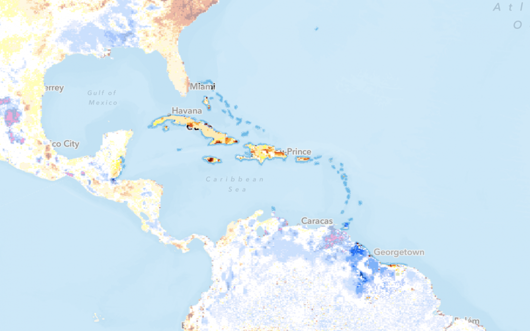
The project will span over a 2-year period and cover Antigua and Barbuda, Dominica, Grenada, St. Kitts and Nevis, Saint Lucia, and St. Vincent and the Grenadines, Barbados, the Bahamas, Trinidad and Tobago, Guyana and Suriname, Belize, Jamaica, Dominican Republic and Haiti.
Main activities will include
- The facilitation of technical and research exchanges
- Capacity building and training in geospatial services and applications
- Sharing of SERVIR-Amazonia’s unique strategic approach to development and delivery of services and products
An initial stakeholder mapping exercise and user needs assessment in the two service areas (monitoring of land use and land cover changes in mangrove ecosystems and in the forecast and monitoring of hydro-meteorological events) will assure that the activities add value to existing capacities and efforts.