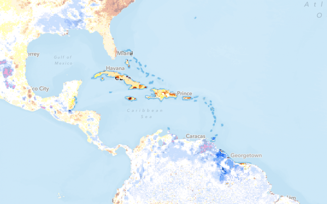
by SERVIR Team | Oct 11, 2021 | Capacity Development, Caribbean, Climate Change, English, Hydro-climatic disasters, Mangroves Monitoring, Portuguese, Services, Spanish, Stakeholder engagement
With additional funding from USAID, SERVIR-Amazonia will broaden the geographic impact of the Program by providing training and facilitating technical engagement with government, universities, research institutions, and NGOs in the Caribbean. SERVIR-Amazonia will...
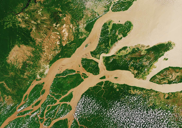
by SERVIR Team | Apr 19, 2021 | Brazil, Drought and Fire, Ecosystem Management, English, Hydro-climatic disasters, Portuguese, Services, Spanish, Stakeholder engagement
Brazil is one of the six countries of the Amazon basin covered by SERVIR-Amazonia, including Colombia, Peru, Guyana, Ecuador, Suriname. Needs-based services In line with its service co-development approach, SERVIR-Amazonia is bringing diverse Brazilian stakeholders...
by SERVIR Team | Nov 24, 2020 | APN, English, Hydro-climatic disasters, Peru, Portuguese, Spanish
En los últimos años, los fenómenos hidrológicos extremos, como las inundaciones y las sequías, se han intensificado en la Cuenca Amazónica y han causado estragos en las comunidades y el medio ambiente de la cuenca fluvial más grande del mundo. A través de la firma de...


