


To date, the SERVIR-Amazonia hub has been developing 11 geospatial services collaborating with more than 30 partner organizations across the Amazonia region. Among those, 23 are formal partners and constitute the SERVIR-Amazonia Consortium, and 20 are based within the six focus countries (Brazil, Peru, Ecuador, Colombia, Guyana, Suriname).
The vision of NASA and USAID, donors and partners of SERVIR-Amazonia, is to bring “Space to Village”. In a recent NASA blog, the Agency describes how locally-led development drives climate action at the SERVIR-Amazonia Hub
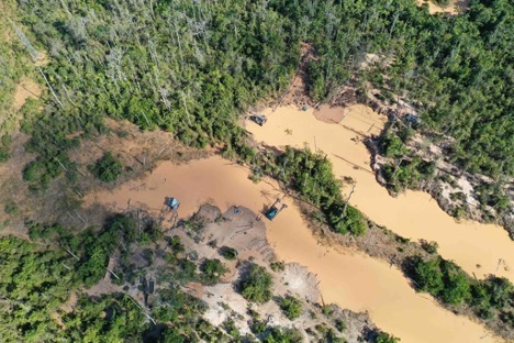
The article features five examples
- RAMI (Radar Mining Monitoring Tool)
- TerraOnTrack (Increase the Protection of Forests Managed by Community-Based Initiatives in the Brazilian Amazon),
- Monitoring and Evaluation of Mangroves in Guyana,
- Ecosystem Services Modeling in The Amazon’s Forest-Agricultural Interface &
- Quantifying the Effects of Forest Changes on Provisioning and Regulating Ecosystem Services –