


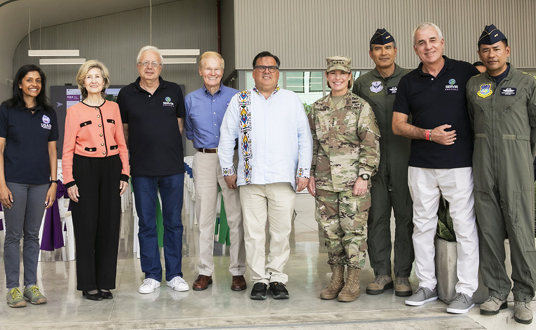
Bill Nelson, NASA Administrator and former U.S. Senator, visited the campus of the Alliance of Bioversity International and CIAT in Palmira, Colombia in early August. Accompanied by a delegation from the space agency, representatives from the United States Agency for International Development (USAID), and the U.S. Ambassador to Colombia, Nelson had the opportunity to learn first-hand about the progress of the SERVIR-Amazonia Program, an initiative to promote sustainable management of natural resources in the Amazon Basin through the use of Earth-observing tools.
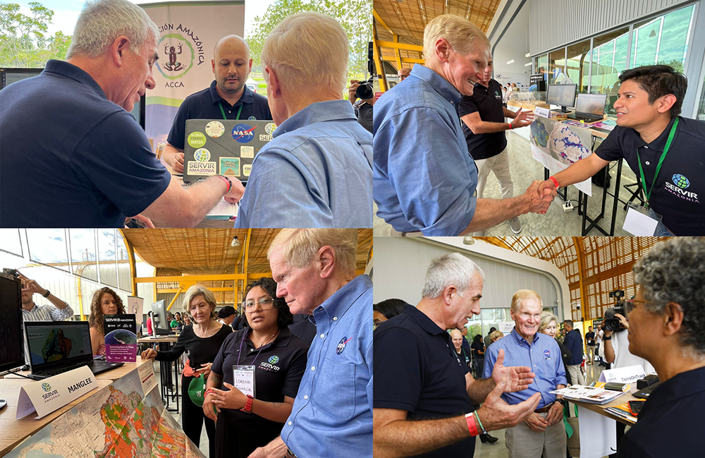
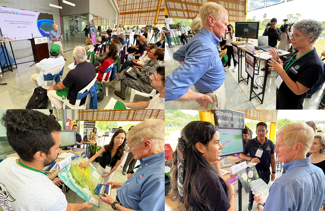
SERVIR-Amazonia local partners in Colombia, Ecuador, Brazil and Peru had the opportunity to present the services and tools co-developed within the Program’s scope. Photo collage: SERVIR-Amazonia.
During the visit, Nelson and the delegation were welcomed by scientists and researchers leading different initiatives within the SERVIR-Amazonia Program. A two-hour activity fair featured the geospatial services and tools: RAMI led by Conservación Amazónica – ACCA (Peru); TerraOnTrack led by Imaflora (Brazil); GEOGlows led by the Alliance of Bioversity and CIAT and local partners in Colombia, Brazil, Ecuador, Peru; Ecuadorian Soil Chemical Fertility Map and MANGLEE tool led also by the Alliance of Bioversity and CIAT and Fundación EcoCiencia (Ecuador).
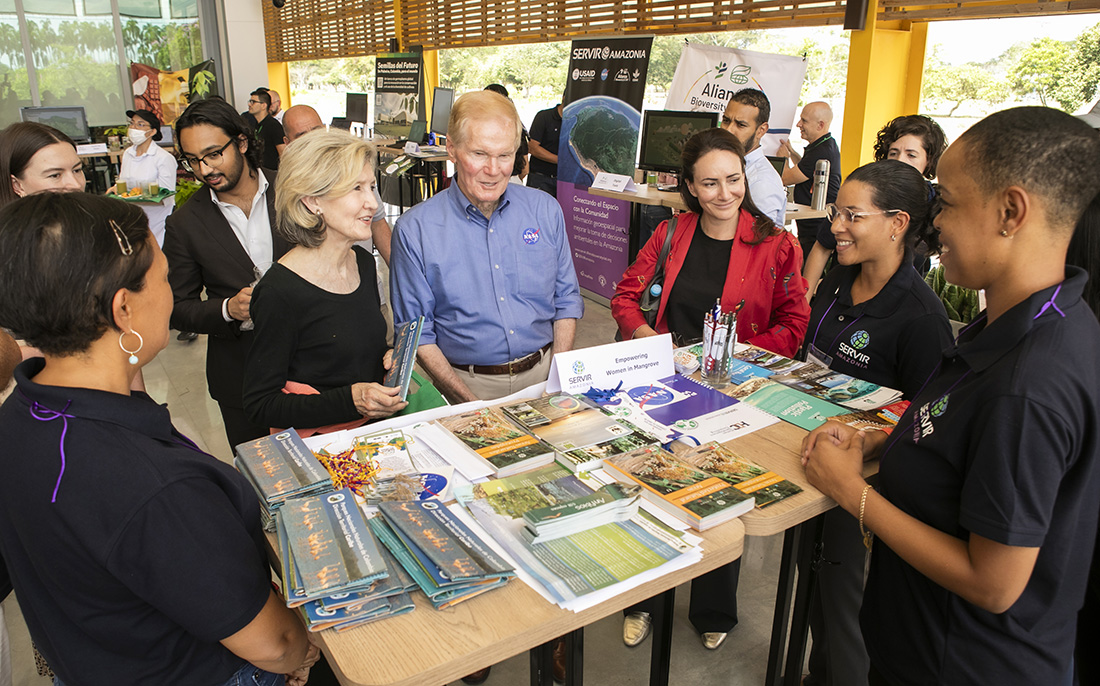
The SERVIR Women Empowering Program led by the Alliance of Bioversity and CIAT also presented their key outcomes and results over the first 5 years of the SERVIR Amazonia Program, as well as many other impact projects of this global organization, the main implementing partner of SERVIR-Amazonia and host of this high-level event.
“We can use the information that earth observation tools provide to make people’s lives better. I am pleased and grateful for the work you are doing,” said Bill Nelson during his speech, where he was hosted by Joe Tohme, Managing Director for the Americas of the Alliance of Bioversity and CIAT, and Carlos Gasco, Director of the SERVIR-Amazonia Program.

Administrator Nelson and the delegation spent two hours learning from scientists and researchers leading more than a dozen initiatives using geospatial services within the SERVIR-Amazonia Program. Photo: SERVIR-Amazonia.
Nelson emphasized: “USAID and NASA are in partnership along with several NGOs that end up providing this information to the governments and to vulnerable people who can use this data to make the right decisions about what helps them in the planning of their crops, and earning a living and also helps save the planet by saving the Amazon forest”.
Carlos Gasco, Director of SERVIR-Amazonia, underscored that this high-level visit is a significant endorsement of the joint work carried out in collaboration with governments, universities, non-governmental organizations, community-based groups, and scientists from the Alliance and the United States. SERVIR-Amazonia is part of SERVIR Global, a joint NASA and USAID initiative.
Having the opportunity to present the main results of the Program during these first 5 years of existence where 16 services and tools have been co-developed in more than 6 countries of the Amazon region was an important milestone that gives a boost to the co-developed work within partners, allies and members of the hub.