


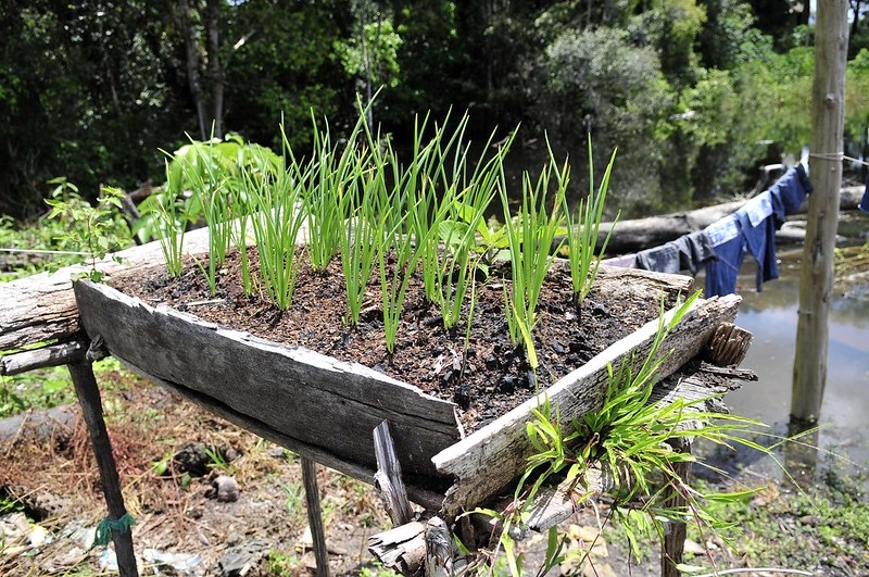
This year the UN launched the Decade on Ecosystem Restoration 2021-2030, aiming to prevent, halt and reverse the degradation of ecosystems worldwide. For this years’ World Environment Day, SERVIR-Amazonia would like to highlight a geospatial service contributing to restore Earth’s ecosystems starting from Ecuadorian soil.
In its attempt to combat soil degradation, increase productivity and prevent contamination, the Ministry of Agriculture and Livestock of Ecuador (MAG) requested support from SERVIR-Amazonia to co-map the state of soil degradation in Ecuador through the implementation of Digital Soil Mapping, which incorporates legacy soil data, remote sensing and spatial satellite imagery. The maps will include information such as the level of soil organic carbon, soil texture, pH, and other soil properties, which are of great interest in monitoring and understanding variations in soil organic carbon stocks, water erosion, and the physicochemical and biological degradation of agroecosystems. Read the press release (in Spanish)
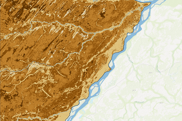
The Mapping Soil Fertility in Ecuador service is led by Mayesse da Silva, a soil scientist, and by Javier Martin, a GIS specialist, both from the Alliance of Bioversity International and CIAT. They are collaborating with MAG to generate high-resolution digital soil maps of key nutrients by combining environmental variables with soil-collected data. The service will use spatial information from geopedological maps, soil profiles, geomorphology and land cover maps, as well as a 30-meter spatial resolution digital elevation model, climate (temperature, precipitation) and vegetation indices derived from satellite images.
 This service will be developed jointly between staff of MAG and the Alliance Bioversity-CIAT and consists of the following five steps: first, a selection and statistical analysis of prominent soil properties collected from the national soil survey will be carried out. The selection of these properties to be mapped will be based on their relevance as indicative of soil degradation. Second, a gathering, processing, and standardization of environmental covariates will be carried out aiming to represent several soil-forming factors crucial in the modeling. Third, the soil expert knowledge of the staff and different mathematical approaches will be used to correlate soil properties with soil forming factors in order to define the most important environmental covariates that influence the spatial distribution of every property. Forth, a machine-learning algorithm will be implemented in order to estimate the spatial variation of previous soil properties based on their relation with selected environmental covariates. Finally, the performance and uncertainty of the resulting maps will be calculated. This will indicate the prediction power of the models and areas of higher uncertainty in the maps.
According to Javier Martín: “with the co-development of this service, we will be able to reach a better understanding of the spatial variation of soils in Ecuador, being able to identify areas affected by soil degradation and subsequently design actions that may contribute to the restoration or mitigation of the agroecosystems of Ecuador”.
To commemorate World Environment Day 2021 for us means to celebrate and heal our planet by co-developing solutions, in this case, starting from the basics: restoring our soil.