


In Guyana, mangroves are crucial for wave attenuation, and their intricate root systems help in sediment binding. As a result, they lower erosion rates while also acting as a key barrier during severe storms. Mangroves play a vital role in carbon capture and they contribute significantly to sea defenses by dampening wave action and lowering wave energy, trapping sediments, and strengthening shoreline substrates. The coast of Guyana consists predominantly of black mangroves closest to the Atlantic Ocean, and white mangroves typically located behind the black mangroves. Red ones, on the other hand, are located in more riverine areas (brackish water). However, land-use changes are affecting this special type of forest that is capable of living with a mixture of salt and freshwater.
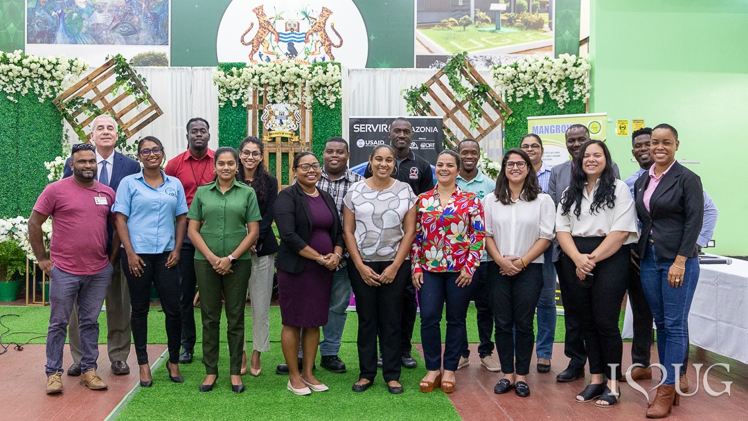
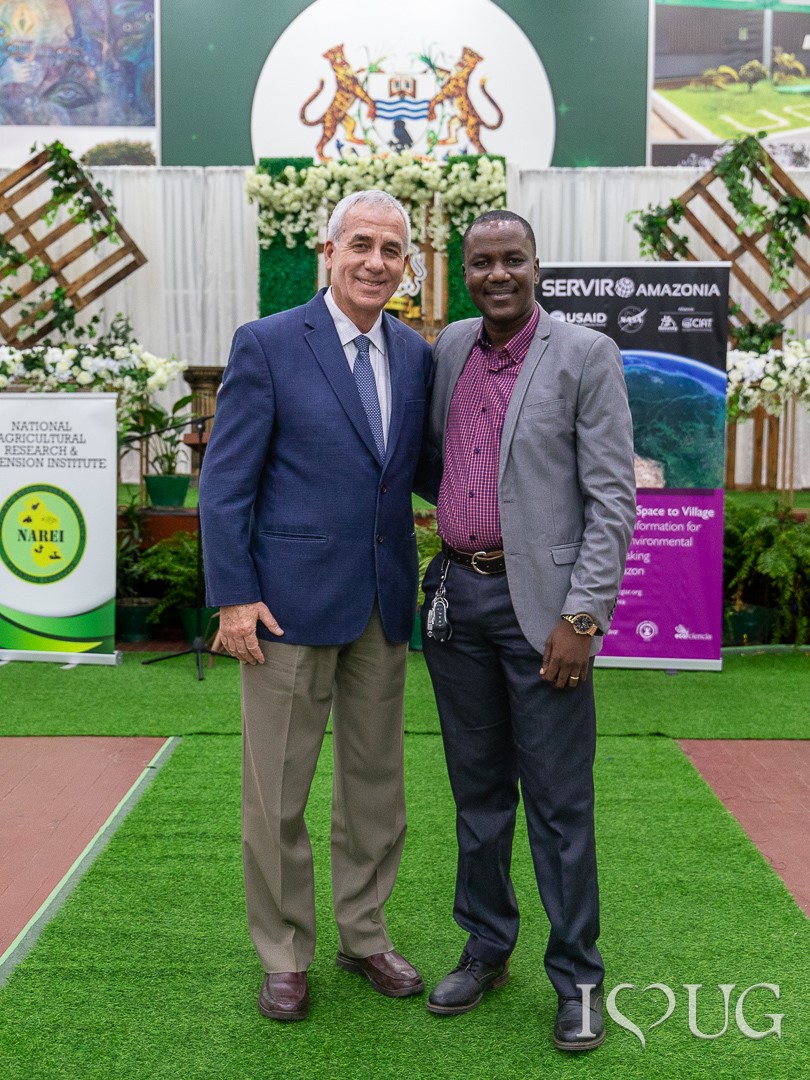
Two years ago, the National Agricultural Research and Extension Institute of Guyana (NAREI) and SERVIR-Amazonia started working together towards the creation of a monitoring system to protect the mangroves in Guyana. The launch held on July 12th celebrated a milestone in this collaboration process, which also has included other institutions such as the University of Guyana and the Spatial Informatics Group (SIG), which is a member of the SERVIR-Amazonia hub.
The objective of this service is to provide a semi-automated monitoring system for the mangrove ecosystems of Guyana, which leverages machine-learning algorithms, cloud-based computing and databases, and RADAR imagery. Through this system, NAREI and other organizations can track the changes in the size of mangrove forests, including forest loss through anthropogenic activity and forest gain from national reforestation efforts.
NAREI has invested its human and technical talent, including Mr. Jagnarine Singh, CEO, Zola Narine, GIS Officer, Kene Moseley, Mangrove Project Coordinator, as well as Padmini Dudnauth and Rudolph Adams, who also attended the launch.

“This service makes mangrove-related land-use change transparent and makes the resulting analysis publicly available. It can be used by government and civil society for a number of purposes, to act on deforestation hotspots and stop them from growing, engage in land-use planning and policymaking, and plan mangrove protection efforts for farmers in low-lying coastal regions”, said Kim Chan-Bagot, Geographic Information Systems Consultant for CIAT/SERVIR-Amazonia and NAREI. She added that this service will be the first mangrove monitoring system for Guyana and is happy to share with you a glimpse of how this service was developed: https://servir.alliancebioversityciat.org/monitoring-evaluation-of-mangroves-in-guyana/
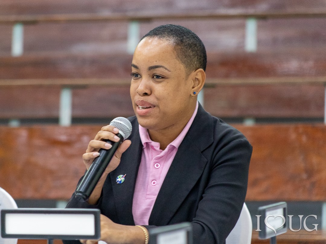
The relevance and meaning of this geospatial service was also highlighted by Zola Narine, NAREI Technical Representative and GIS Officer, who pointed out that, “this is a crucial service for Guyana in order to understand losses and gains to its mangroves and to build a better conservation strategy for this forest and its valuable ecosystem services”. On the other hand, Philip Schwehm, Senior Development Advisor and Regional Economist USAID/ESC Representative, said: “Providing a perspective from space is likely to improve life on earth by co-creating innovative ways to apply science to resolve problems nationally and globally such as mangrove forests, which are a vulnerable ecosystem that demand informed decision-making. That is why the US government has strengthened nature-based solutions and is committed to train the next future generation of decision-makers for generations to come”.
That is exactly the case of Andrea P. Nicolau, GIS Specialist, (SIG), who is participating in the co-development of this geo-spatial service: “I’m excited about continuing to work together. The idea for this year is to move forward and work together, to expand our work to extend the fragmentation and connectivity analysis, and to leverage the in-network knowledge that we have at SERVIR-Amazonia. We plan to provide more workshops, such as the short one we have scheduled for Guyana this July, and another planned on use of high-resolution imagery, as well as many more to come as part of the Caribbean capacity-building workshops”. She added, “we also want to transfer knowledge to other countries in the Caribbean. The idea is to develop a mangrove monitoring community of practice to hold monthly meetings, and to build a landing page for discussion, comments, and a post mangrove monitoring code in the near future. We are also looking to apply the work done by Kim Chan on a pilot site in Ecuador”.
Behind the scientific scenes, there is also a lot of management follow-up and commitment. This is an aspect highlighted by Temitope Oyedotun, Dean of the Faculty of Earth and Environmental Sciences at the University of Guyana.
“I was happy to be part of a conversation that we had that was the beginning of everything some years ago, and now has turned into a reality that involves NASA, USAID and SERVIR-Amazonia, whose backing and support are constant sources of leadership, knowledge, and training. I believe that we are on the right track for lowering carbon emissions to help the country at this historic time.” he pointed out.
Training for action
Together with this launch event, a User Needs Workshop (which included technical training in GEE) was organized by the SERVIR-Amazonia Program on July 13th and attended by eleven representatives from different Guyanese institutions, including NAREI, Ministry of Agriculture, Fisheries Department (MOA), Environmental Protection Agency (EPA), Ministry of Natural Resources (NRE), Guyana Forestry Commission (GFC), Hydrometeorological Service of Guyana (HYDROMET), Protected Areas Commission (PAC), Central Housing and Planning Authority (CHPA), and the University of Guyana (UOG).
The main objective was to assess the organizations’ needs, priorities, and opportunities related to the co-design of the capacity-building program on geospatial technologies. The workshop gave participants a survey which included questions on national geospatial information capacities and infrastructure, to the needs of organizations that use geospatial information in Guyana. Natalia Uribe, Capacity Building Coordinator, SERVIR-Amazonia Program, presented the preliminary results of a 30-question survey to assess the organizations’ needs and draft a Building Capacity work plan.
In addition, the session also included brief feedback and a discussion on the Capacity Building proposal, in which participants indicated their preferences on capacity-building session themes for each thematic area. It was also suggested that small, targeted research projects/studies within the institutions (with support from SERVIR-Amazonia), would be relevant for the uptake of new technologies and workflows. For Professor Paloma Mohamed Martin, Vice-Chancellor of the University of Guyana, one of the most important actions is to continue working together, highlighting the role that she hopes the Space Club will play in a work group created at the university six months ago.
This workshop included a practical training session on GEE and Random Forest Classification at the Center for Information Technology (CIT) at the University of Guyana, delivered by Andrea P. Nicolau, GIS specialist, (SIG). The training was about the use and general foundations of GEE, (a cloud-based platform for data processing satellite data such as Landsat), Sentinel 2, and Planet NICFI. The participants also learned about the use of JavaScript programming language.
This two-day celebration and work agenda also represents a starting point mentioned by Carlos Gasco, Program Director, SERVIR-Amazonia. “We have been working for almost 3 years shoulder to shoulder. We are now looking forward to the implementation of our work plan for next year and in future we need to share what we have learnt in Guyana with other countries”.