


Author: Anais Offley with support from Andréa Puzzi and Rodrigo Torres.
In the years prior to 2022, the Ecuadorian Ministry of Environment, Water, and Ecological Transition (MAATE) realized it needed to update its forest-monitoring data collection system. It was expensive, obsolete, and slow. MAATE also had to wait for donations or allocate large sums of their budget to purchase data and then slowly upload them to a GIS server. To remedy these issues, SERVIR-Amazonia joined forces with the MAATE to implement Collect Earth Online (CEO) as a more efficient tool for viewing and interpreting forest data and to provide MAATE members with workshops on the use of CEO.
User-needs sessions collected MAATE’s technical issues. Photo: SERVIR-Amazonia.
Cooperation between SERVIR-Amazonia and the MAATE began when SERVIR-Amazonia conducted general training workshops on data-accuracy assessment and map validation using Collect Earth Online and provided technical support. Following the early workshops, SERVIR-Amazonia conducted user-needs analyses in order to develop specific CEO tools that addressed issues identified by the MAATE’s employees. By encouraging the Ministry to adapt CEO tools on a case-specific basis, SERVIR-Amazonia helped ensure that Collect Earth Online had practical applications for MAATE, as well as helped to provide and verify information used to create public policy.
Collect Earth Online (CEO) is the satellite image viewing and interpretation open-source system developed by SERVIR to help organizations around the world monitor their resources. Learn more: https://www.collect.earth/
Since its introduction, CEO has assisted the MAATE in a variety of ways, the most important of which have been by improving timely and affordable access to forest-monitoring data that helps to reveal the effectiveness of current forest management policies, highlighting the need for future preservation measures, and even providing access to funding for measures to reduce emissions. Perhaps the most significant benefit resulting from the joint initiative with SERVIR-Amazonia has been the adoption of Collect Earth Online as the official tool for map validation in Ecuador’s National Forest Monitoring System (SNMB). Through its use of CEO, the SNMB has been able to verify its land cover and land use estimates quicker and better assess the impacts of different activities in the Ecuadorian Amazon in real-time so that the policies that have been developed can improve both forest preservation efforts and living conditions for groups directly impacted by forest management. The hope is that the adoption of CEO within the SNMB will continue to have broad applications outside Ecuador, such by paving the way for CEO to be adapted to different needs and employed in different contexts. This could ultimately aid the global effort to reduce emissions by improving the Measurement, Reporting, and Verification (MRV) System through which countries can compare their progress to reference levels for emissions.
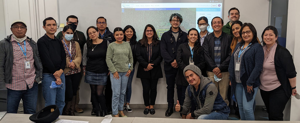
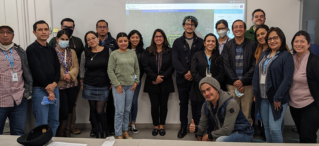
The Ecuadorian Ministry of Environment, Water, and Ecological Transition (MAATE) and the ProAmazonia Program participated in a workshop led by SERVIR-Amazonia and Spatial Informatics Group (GIS). Photo: SERVIR-Amazonia.