


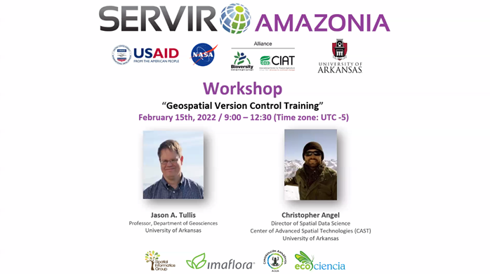
With the participation of more than 50 professionals specializing in geographic information systems (GIS) from the six countries covered by the SERVIR-Amazonia program, a three-hour interactive training session in Geospatial Version Control took place on February 15. Led by professors from University of Arkansas, the purpose of the workshop was to strengthen participants’ capacity to solve geospatial problems.
Carlos Gasco SERVIR-Amazonia Program Director launched the event: “We are very honored to have representatives from our partners of the countries where we work. I invite participants to take advantage of it and ask questions, because these types of courses are not common. The session also included the participation of Helen Parache, Leader of the Regional Scientific Coordination at SERVIR-Amazonia, for whom “a course like this is highly relevant for meeting the goals set by working together and co-developing solutions”.

Git is a distributed version control system that is efficient, reliable, and scalable for applications that have large numbers of both project files and contributors. Through Git’s ability to capture file snapshots and manage parallel project branches over time, authorized users can efficiently collaborate and coordinate on the development of a shared file repository.
Focused on Git and its geospatial applications, this interactive training was given by Jason Tullis and Christopher Angel from University of Arkansas. Jason is a professor of geography in the Department of Geosciences and a member of the Center for Advanced Space Technologies (CAST). He studied at Brigham Young University and University of South Carolina and has been working in GIScience at University of Arkansas since 2004. With an interest in geospatial provenance, he is active in international geospatial capacity building and in NASA’s Mars data analysis program. Christopher is Director of Spatial Data Science at CAST and has more than 13 years of experience leading research and development of spatio-temporal software applications, data management pipelines, and CI/CD strategies for the public and private sectors, with a view to contributing to or creating products and workflows that facilitate cutting-edge research.

The two researchers were clear in setting out, not only the real and different possibilities that Git offers (including interaction with other tools and platforms such as Google Earth Engine), but also the reasons why it is so useful to facilitate the heart of SERVIR-Amazonia’s work, which is to co-develop geospatial services and solutions.
“It is often difficult to trace a version, to know who should be credited, and what was actually changed. Experience has shown that local and centralized version control are not the answer we are looking for”, Jason explained. “Git is not a panacea, but has proven to be a version control success story in computer systems. It has multiple relevant applications for SERVIR and other international work that leverages complex and constantly evolving geospatial technologies. It facilitates whether geospatial products or services can be reproduced or replicated by authorized stakeholders. This goes beyond scientific research and extends to technology transfer, public trust, user engagement, and much more.”
Among the numerous advantages offered by Git to deal with the complexity of simultaneous co-development, it is a robust application that lets you see who has contributed to what files and for text documents what exactly was changed within the file. In conjunction with online services provided by GitLab, GitHub, Bitbucket, etc., Git allows you to appreciate and enter into the dynamics of collaborative work in a broader environment.

Workshop materials: https://1drv.ms/b/s!AvJDvYqZEpg9o-FBhsZejfglOKIc-A?e=26Ptib