


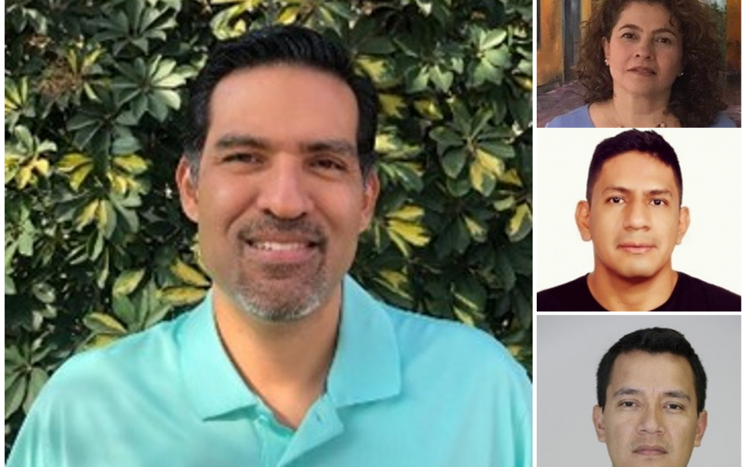
Centralizing to better share could be the quick definition of the work conducted since 2020 by the Geospatial Information Technology team (GIT) at the SERVIR-Amazonia Hub. This group is headed by Brian Zutta, Ph.D., Science and Data Lead (GIS), and integrated by Silvia-Elena Castaño, GIS Specialist; Ovidio Rivera, GIS Specialist; and John Jairo Tello, Systems Analyst, from the Alliance of Bioversity International and the International Center for Tropical Agriculture (CIAT).
“We are all committed to organizing the Hub’s digital structure and gathering the tools and data we want to share, as well as being the living contact between SERVIR and the teams from the 11 services the Hub offers in the region”, explains Brian. “Each partner has its own way of organizing its respective digital structure, and we want to increase the efficiency by having all partners use the SERVIR-Amazonia standards”, stresses Brian. And Silvia adds “Hence, it is important that all share the geospatial information they have documented in our site GeoNetwork Servir Amazonia”.
The GIT team will make a strong contribution towards the commitment of the SERVIR Global Program to open data, a strategic focus of the Hub, since the use of geospatial services depends on the Hub’s capacity to create networks with stakeholders and the ability of partners to design, co‑develop services, and share data. In this respect, the GIT team is determined to turn the Program’s data into FAIR data, i.e., information that is findable, accessible, interoperable, and reusable.
To carry out this work, the GIT team offers its whole expertise in three fields:
- Programming technologies to visualize geospatial data and general information, such as JAVA, Google APIs, CartoDB, and MapBox, among others.
- Geographic Information Systems (GIS), Spatial Data Infrastructure (SDI), data management, basic mapping, Storymaps, cloud GIS platforms, such as ArcGIS Online.
- Spatial analysis, field work with remotely piloted aircrafts (RPAs) and GPS, data management, and web design and mapping.
“Armed with all this knowledge and expertise, the GIT team provides the Program with support to accomplish its goal of completing 4 to 5 geospatial services by December 2021”, states Brian Zutta.
Data, practices, and the human factor
Silvia emphasizes that the purpose of the GIT team is having a digital structure that both SERVIR-Amazonia partners and communities can harness, since “the main challenge we face is facilitating the data dynamics, so they can have a cycle from registration to consultation, providing the required training to teams from partners. This way we ensure every dataset is available in the cloud, enabling a good-quality service, accuracy of results, and better decision-making by stakeholders with regards to the environment”, Silvia points out.
The beauty of a data element
It has been witnessed by Silvia in dynamics, such as participatory mapping, a technique used with communities to represent areas through systematization, interpretation, and transfer of territorial information, where the assessment of locals is crucial. “We have the tools, and they have the information. Let us build the bridge so they can use the tools and we can learn from them. It is incredible how the crossing of information, experience, and knowledge forms a mixture resulting in ideas that help achieving the goal that brings us together: protecting the Amazon”.
As endorsed by Milagros Becerra, Research Assistant and GIS Specialist at Conservación Amazónica (ACCA), an entity working for over 20 years in the conservation of the Peruvian Amazon, “The pandemic increased the interest in using technology in support of the Amazon, in this case, through drones, GIS, remote sensing, and web and smart phone applications (Apps), which is translated into concrete actions to halt deforestation in areas where illegal mining activities are detected”, she points out.
As an example, we can cite the experience of MAAP, an initiative from Amazon Conservation and Conservación Amazónica (ACCA) in Peru. MAAP is supported by other partners, such as the Bolivian Association for Research and Conservation of Andean-Amazonian Ecosystems (ACEAA) in Bolivia, and the EcoCiencia Foundation in Ecuador – a partner of SERVIR-Amazonia – to use the cutting-edge technology available to understand patterns, hotspots and causes of deforestation in near real-time, in the Andean Amazon. All this with the aim of disseminating the technical information in a timely, accessible, and user friendly manner among decision-makers, political authorities, civil society, journalists, researchers, and the general public. “It is all about harnessing state-of-the-art technology and spatial data for the conservation of natural resources, in particular to protect the Amazon, and find a way to mainstream this work into the improvement of public policies”, stressed Milagros.