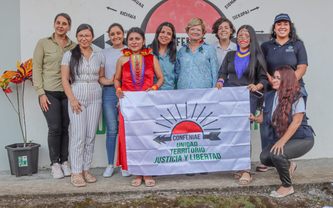
Delegates from the Marshall Space Flight Center-NASA, the Bioversity Alliance & CIAT visited the Amazon region as part of a key collaboration with the SERVIR Amazonia program, with the aim of learning about the strengthened local capacities in the use of advanced satellite technologies.
This visit underlines NASA’s commitment to the region by providing technological tools that improve the monitoring and management of natural resources, allowing for more accurate and timely decision-making.

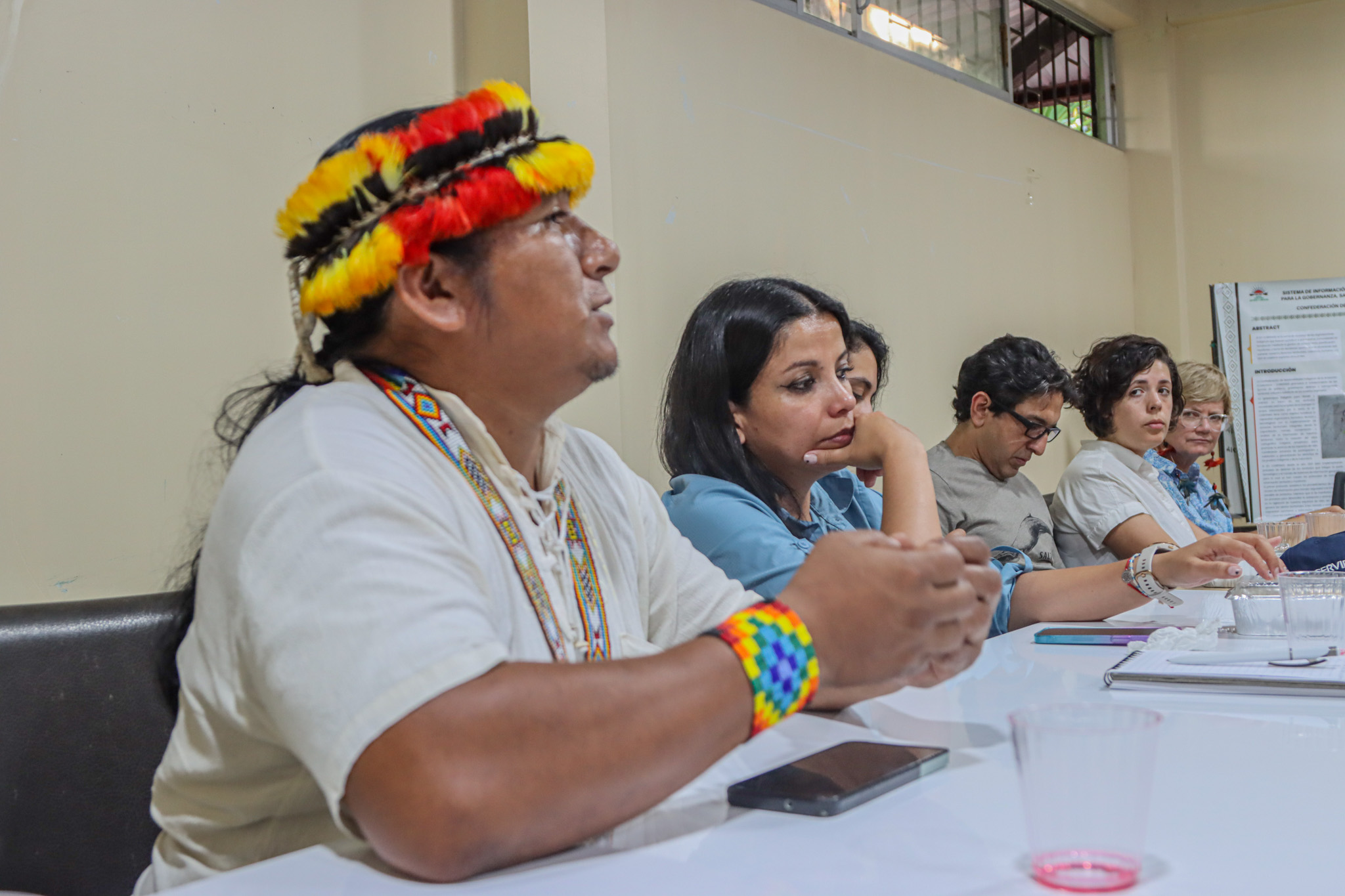
Workshop at the Confederation of Indigenous Nationalities of the Ecuadorian Amazon CONFENIAE.
NASA’s strategic contribution to the SERVIR Amazonia program opens up new opportunities to address critical environmental challenges in the Amazon basin, such as deforestation, forest fires, and disaster prevention.
During the visit, which on this occasion took place in the Ecuadorian Amazon, workshops and sessions were held with technicians from local governments and indigenous organizations of the Waorani Nationality and the Confederation of Indigenous Nationalities of the Ecuadorian Amazon CONFENIAE, where key geospatial applications developed by SERVIR Amazonia were explored, in collaboration with NASA experts for real-time satellite monitoring of Amazonian ecosystems. These tools, which have already been implemented in countries such as Ecuador, have great potential to be adopted by other partners of the SERVIR Amazonia program throughout the region. This regional exchange of knowledge is essential for local actors to develop and apply technological solutions adapted to the specific needs of each Amazonian country.

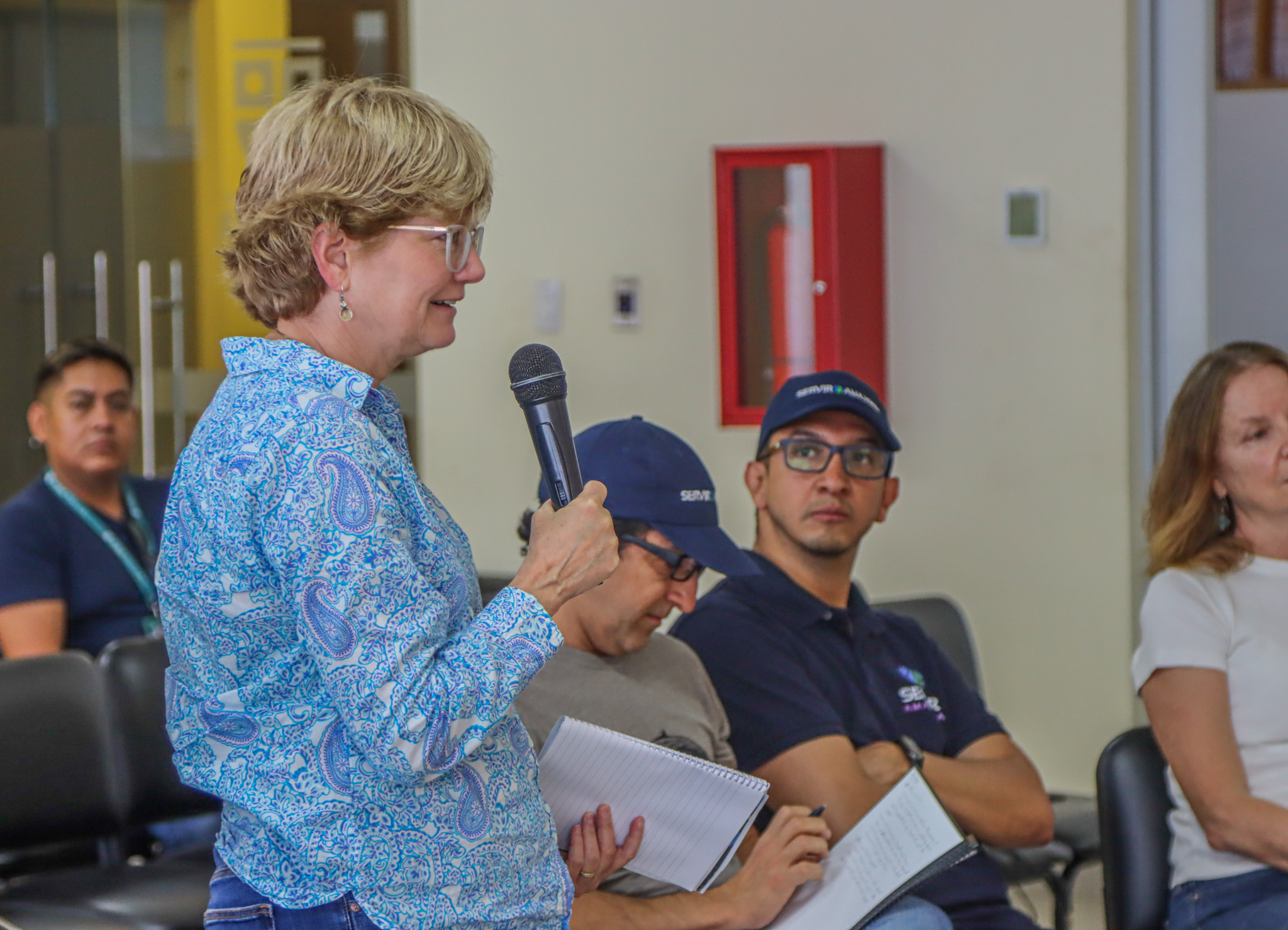
Workspace with the Prefecture of Pastaza, Ecuador.
The SERVIR Amazonia program, supported by NASA and USAID, seeks to empower local communities, governmental and non-governmental organizations in the Amazon region to lead the monitoring of their own natural resources. With the visit of NASA delegates, the collaborative approach that will allow the expansion of the implementation of geospatial applications throughout the region is reinforced, optimizing conservation efforts and sustainable management of the Amazon for the benefit of the region and the planet.


