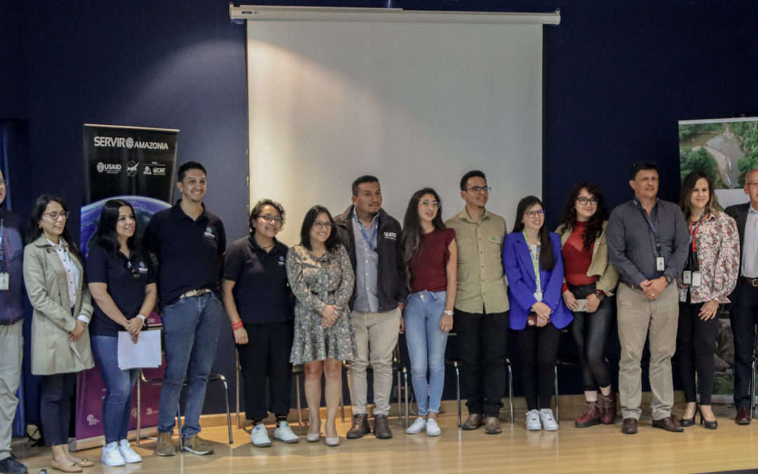
Quito, November 28, 2024.- The EcoCiencia Foundation, with the support of the SERVIR Amazonia program, facilitated the discussion: “From studying geotechnologies to transforming the world” at the Universidad de las Fuerzas Armadas. A space aimed at promoting the exchange of experiences related to the use of geotechnological tools and promoting research in the areas of Science, Technology, Engineering and Mathematics (STEM).
The event brought together experts in the application of geotechnologies who addressed topics such as:
- The Role of SERVIR Amazonia in the development of geospatial solutions in the region and in Ecuador.
- Spatial data science and programming.
- Development and Planning of Tourism Products.
- The MapBiomas Project: Land Use and Cover.
- Socioeconomic Deprivation, Social System and Crime in Quito.

In this context, the SERVIR Amazonia program presented its forest fuels model project, a practical tool that uses geospatial data and technologies for risk management. This model is expected to contribute to decision-making in climate change scenarios.
Lorena Caiza, a technician at Fundación EcoCiencia explained: “We are developing a methodology for the generation of a forest fuels model. This model is a simplified representation that describes the physical and structural characteristics of the plant materials available for combustion in an ecosystem, considering factors such as quantity, size, type, distribution and state of the fuels (leaves, branches, fallen trunks, living or dead vegetation). For its development, we use remote sensing data and digital tools such as Google Earth Engine, which allow the integration of spatial information.”
The SERVIR Amazonia program highlighted the importance of capacity building and inclusion as essential pillars for professional development. This discussion provided participants with a collaborative learning space, where guidance was offered and practical examples of how geotechnological tools are transforming key sectors were shared.

The event was aimed at students and young people in the early stages of their professional careers in geospatial and environmental sciences, providing them with a platform to dialogue with experts and explore how geotechnologies can solve problems and contribute to various institutions.
This space was made possible thanks to the SERVIR Amazonia Program, which is part of SERVIR Global, a development initiative jointly funded by the National Aeronautics and Space Administration (NASA) and the United States Agency for International Development (USAID).


