50% of Ecuador’s soils are being degraded. This situation demands special attention, as it leads to the reduction of water sources and increases vulnerability to climatic events in agriculture, which puts food security at risk.
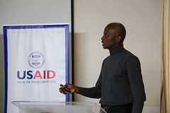
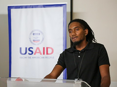
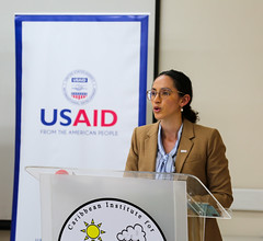
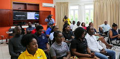
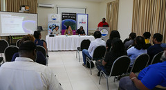
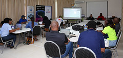
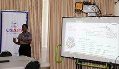
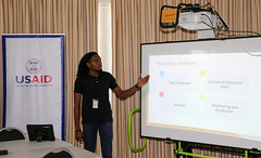
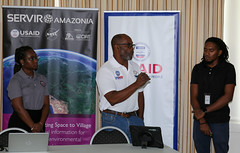
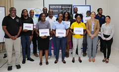
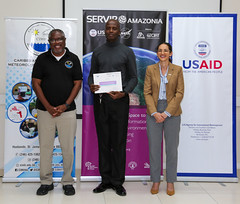
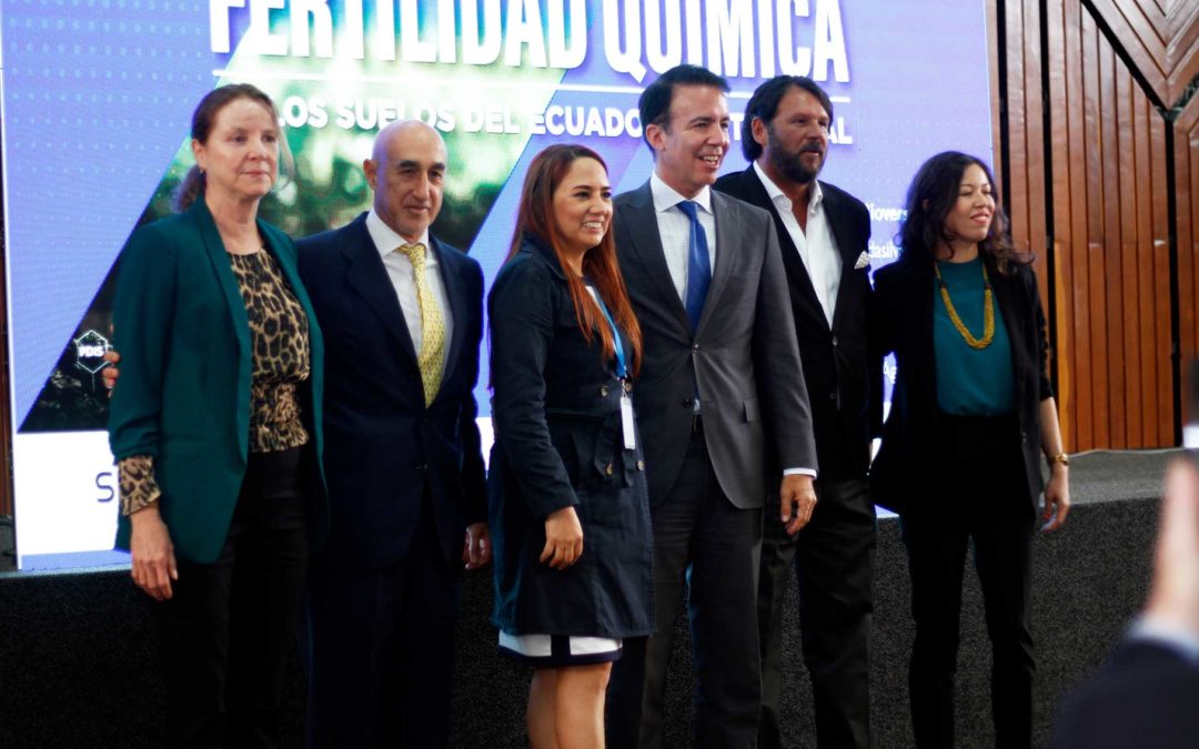
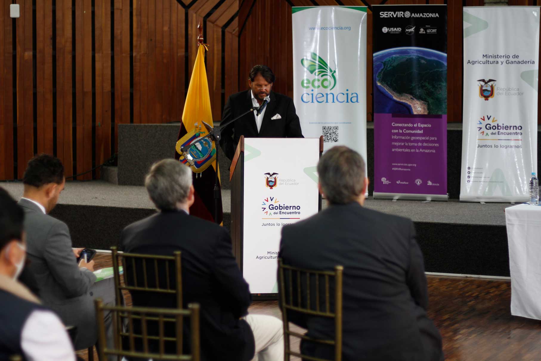
Faced with this challenge, a ‘Digital Map showing the Chemical Fertility of Soils in continental Ecuador was launched, with the participation of officials from the Ministry of Agriculture and Livestock (MAG), and representatives from various public and private institutions committed to sustainable soil management, at the MAG Auditorium in Quito, on August 26, 2022.
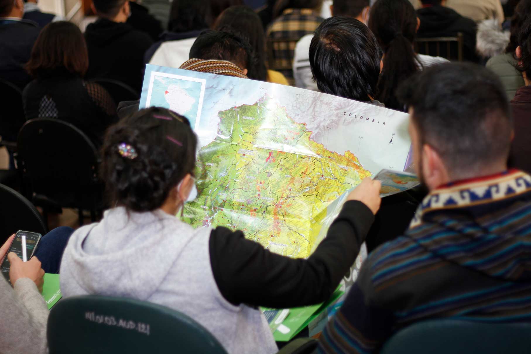
“This map will contribute to evidence gathering and a deeper understanding of the state of soil degradation in Ecuador, caused mainly by erosion, desertification and contamination. It will be an effective tool to guide strategies that will allow us to have fertile and healthy soils and to minimize the impact of land-use change. It will also increase productivity without generating degradation, it will support small farmers, guarantee food security and sovereignty, and reduce poverty rates,” said the Minister for Agriculture and Livestock, Bernardo Manzano Díaz.
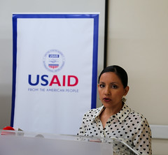
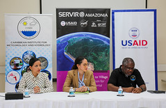
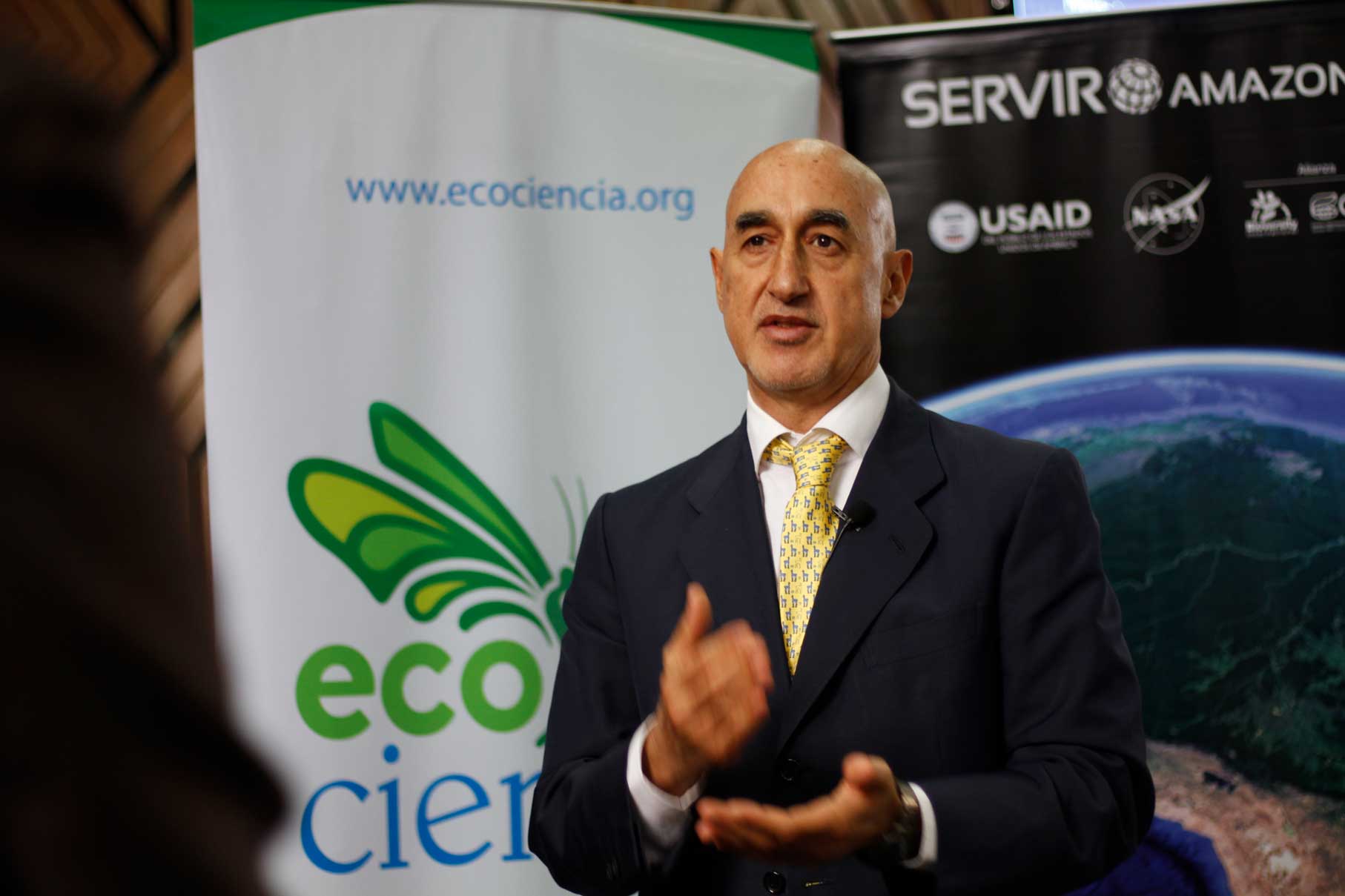
The launch of the map is the result of a process of close collaboration, which began on January 25, 2021, with the signing of a memorandum of understanding between the Ministry of Agriculture and Livestock (MAG), the Alliance of Bioversity International and the International Center for Tropical Agriculture (CIAT) and the EcoCiencia Foundation, in order to co-develop a service that would contribute to combating soil degradation in Ecuador. This agreement is part of the SERVIR-Amazonia Program, which is part of SERVIR Global, a joint development initiative between the National Aeronautics and Space Administration (NASA) and the United States Agency for International Development (USAID).
“We face challenges that highlight the need to continue investing in and supporting research. We are calling for the country to have a profitable, sustainable, inclusive, and resilient agriculture that helps the country’s economy and helps to overcome hunger and poverty,” said Jesús Quintana, Director for the Americas, Alliance of Bioversity International and CIAT, adding that the joint work “is transparent. Through this initiative we are open to knowledge and understanding and we will put the data that has been generated in public view through the geoportal. The information and the capacities created, will help generate more effective public policies that address society’s real needs and enable us to continue moving forward together.”
Carmen Josse, executive director of Fundación EcoCiencia, said: “It is an incredible honor to be part of this joint initiative, to bring information with cutting-edge technologies to users, so that natural resources can be managed better and for better decisions to be made by those involved in public policy”.

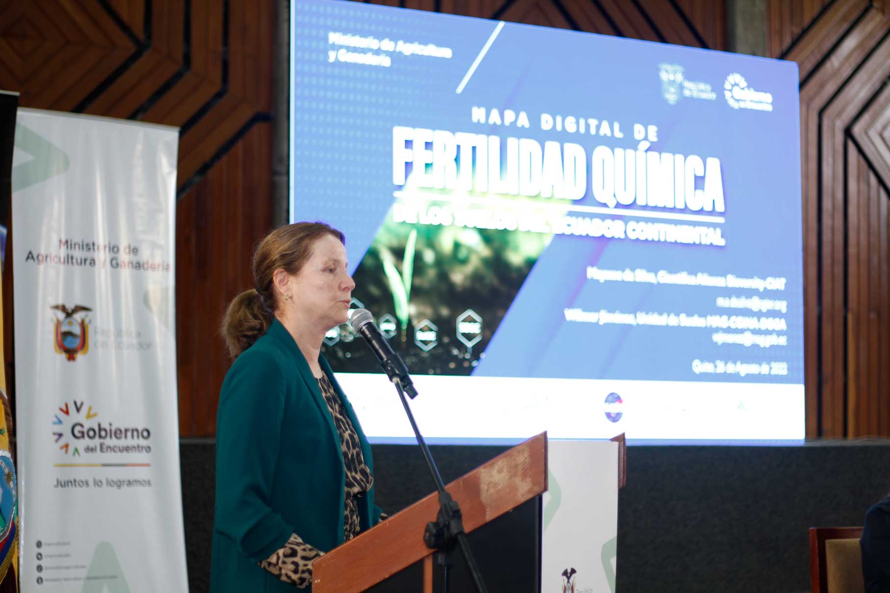

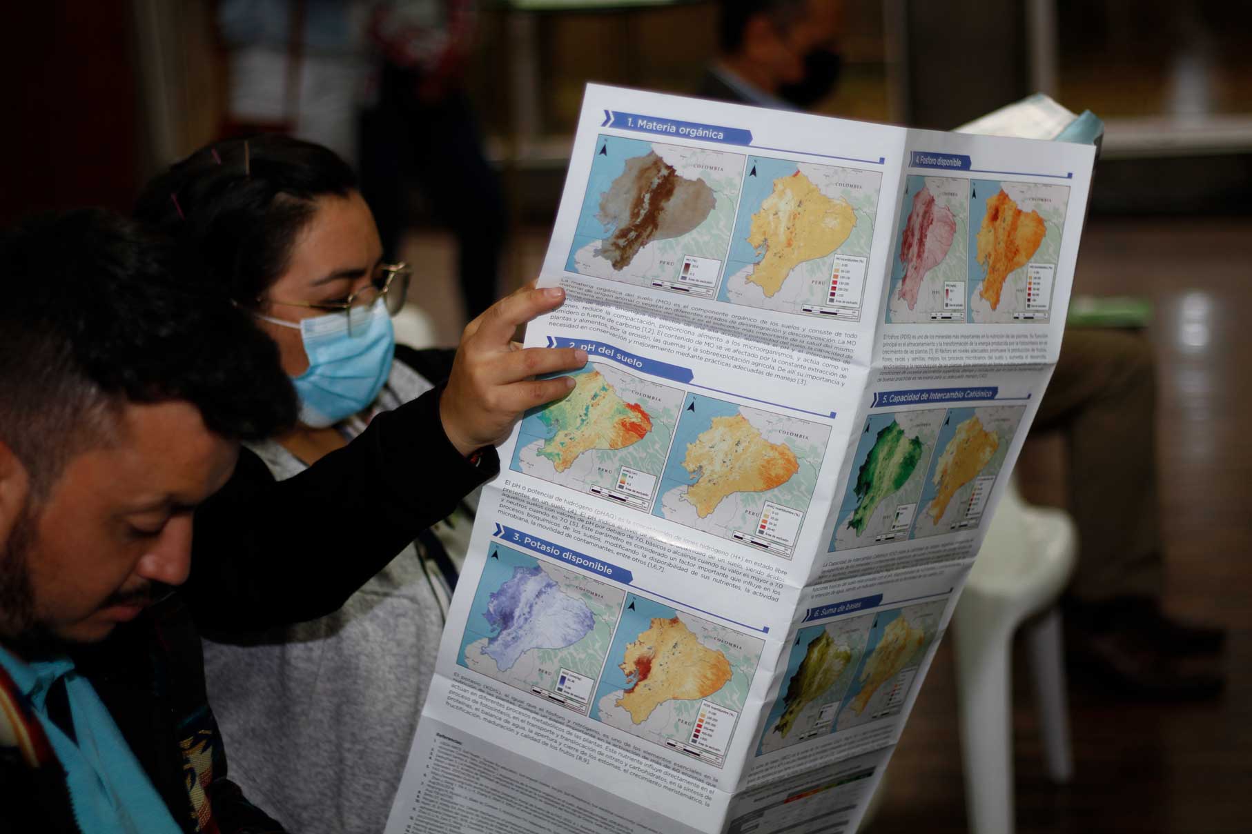
The scientific element of this service has been led by Wilmer Jiménez, Technical Leader of the Soil Unit of the General Coordination of National Agricultural Information (CGINA-DGGA) at MAG, and Mayesse da Silva, scientist at the Alliance of Bioversity and CIAT. The map will provide evidence for the state of soil degradation in Ecuador caused mainly by erosion, desertification, and contamination.
It will also serve as a tool for directing strategies to recover soil fertility and health, minimize the impacts of land-use change, and increase productivity without causing degradation. Likewise, small producers will benefit, guaranteeing food security and sovereignty, in addition to reducing poverty rates.
Following the delivery of this digital map, MAG will focus its efforts on facilitating its adoption, while teaming up with SERVIR-Amazon and its partners in Ecuador to co-develop complementary services and solutions related to climate change.