


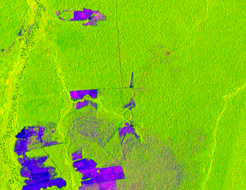
NASA’s Africa Flores (SERVIR-Amazonia Regional Science Coordination Lead and Land Use Change Thematic Service Area Lead) and Kelsey Herndon (SERVIR-Amazonia Regional Science Associate) published the blog post “Protecting Amazonia Forests by Mapping Forest Degradation Using Cloud-Penetrating Satellite Imagery” on the ClimateLink portal. It features work with GIS professionals of Peru, Colombia and Ecuador on using SAR time series to monitor forest degradation and builds on a series of regional workshops. In the most recent activity, Dr. Josef Kellndorfer, SAR expert, founding member of Earth Big Data, and member of NASA’s NISAR science team, led 20 participants in using open source software, including QGIS and Jupyter Notebooks, to test several different forest degradation detection algorithms on the freely available Sentinel-1SAR time series stacks. Participants were able to identify areas of degradation in the imagery and apply various classifiers to automate the detection.
Read more about SERVIR-Amazonia service developments