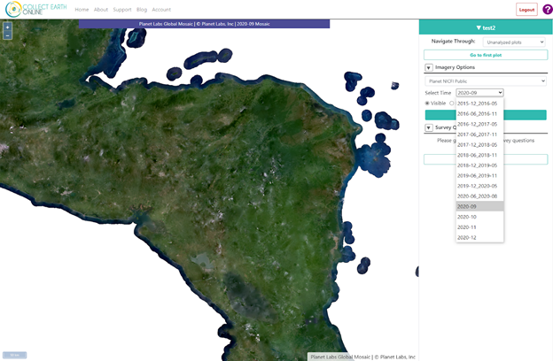
The Collect Earth Online team, including Karis Tenneson from Spatial Informatics Group, is excited to highlight a number of new features that have been launched, based on feedback from the community of users, to make it even easier to monitor changes in land use and land cover. Highlights include the addition of new high-resolution imagery as well as site improvements that make it easier to edit projects, onboard new users, and label key features within plots.
New features on Collect Earth Online: Project editing, basemaps from Planet and more